Memphis’s neighbourhoods differ mainly by density, age of housing and distance from the river: Downtown and Midtown are walkable and built on a grid of pre-1950s housing stock, while East Memphis and the suburbs are car-dependent and built on postwar subdivisions. Which one suits a given resident depends less on “safety” than on commute, housing type and whether a car is assumed.
How is Memphis actually laid out as a city?
Memphis grew outward from a bluff on the Mississippi River, and its neighbourhoods still read as concentric bands from that point. Downtown and Uptown sit closest to the river. Midtown forms a wide belt just east of that, built mostly between the 1890s and the 1930s. Beyond Midtown, East Memphis and a string of newer suburbs — Germantown, Collierville — take over, built almost entirely after the Second World War around the automobile rather than the streetcar. Older residential neighbourhoods such as Orange Mound, Binghampton, Soulsville and Frayser sit in between, on land developed earlier in the twentieth century, often as distinct communities in their own right rather than suburbs of Downtown. The city’s own MATA bus network and the Main Street trolley connect these bands unevenly — density and route frequency drop off sharply once you leave the older core.
What is Midtown like to live in?
Midtown is Memphis’s densest and most walkable large district outside Downtown, built mostly of bungalows, duplexes and pre-war apartment buildings on a grid, with Overton Park and the Memphis Zoo at its centre. It contains several named sub-areas rather than functioning as one uniform neighbourhood.
Cooper-Young, an intersection-turned-district within Midtown, is the clearest example: it is built around a compact commercial strip with a defined food and retail scene, covered in detail on this site’s own explainer on Cooper-Young and in its piece on what the neighbourhood’s food scene is built on. Overton Square, further north, functions as a theatre and restaurant cluster rather than a residential pocket. The broader shape of Midtown as a place to actually live — housing stock, walkability, its relationship to Overton Park and the Old Forest inside it — is covered on this site’s page on what Midtown actually is.
What is it like Downtown, in Uptown, or on Mud Island?
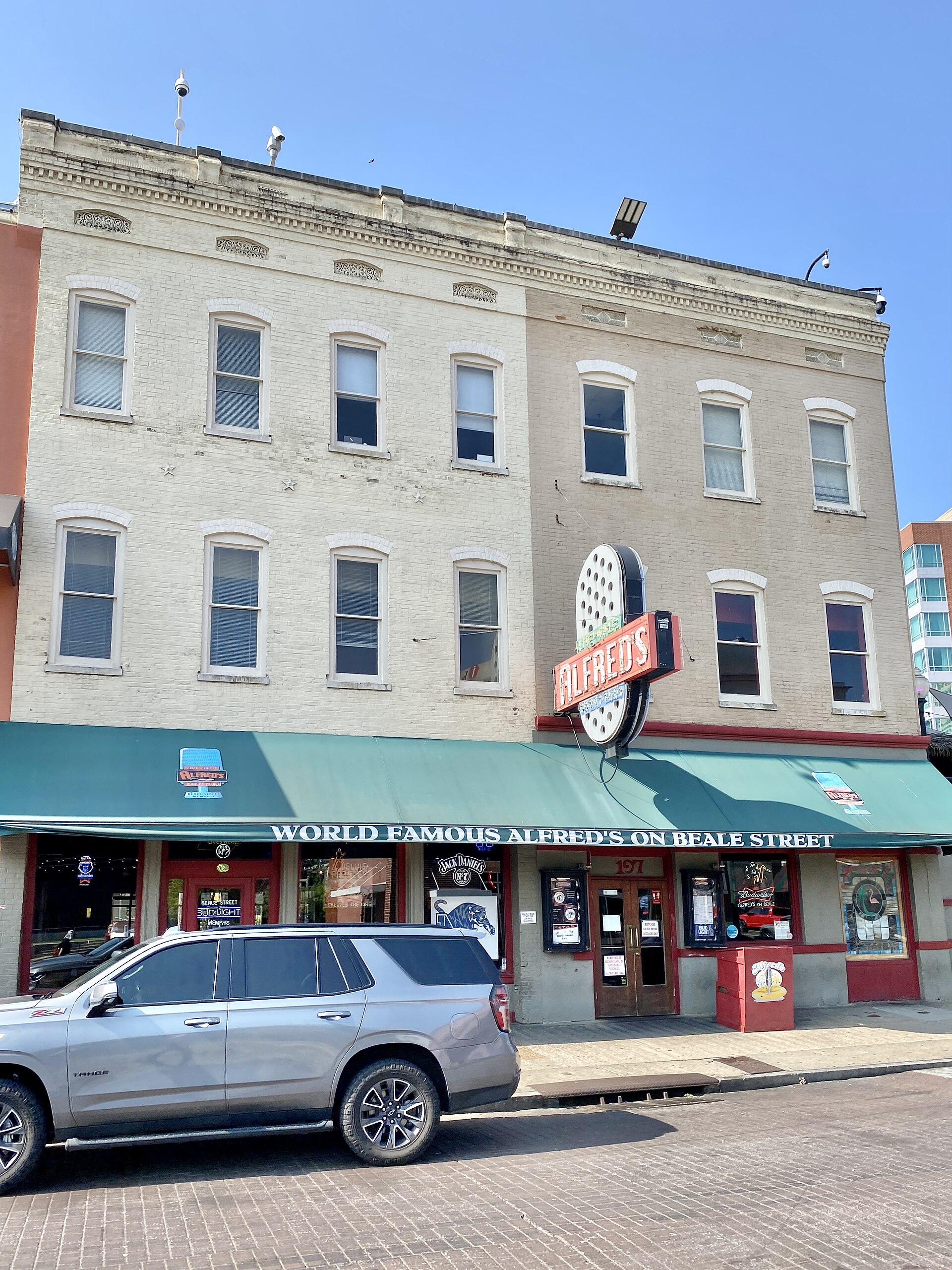
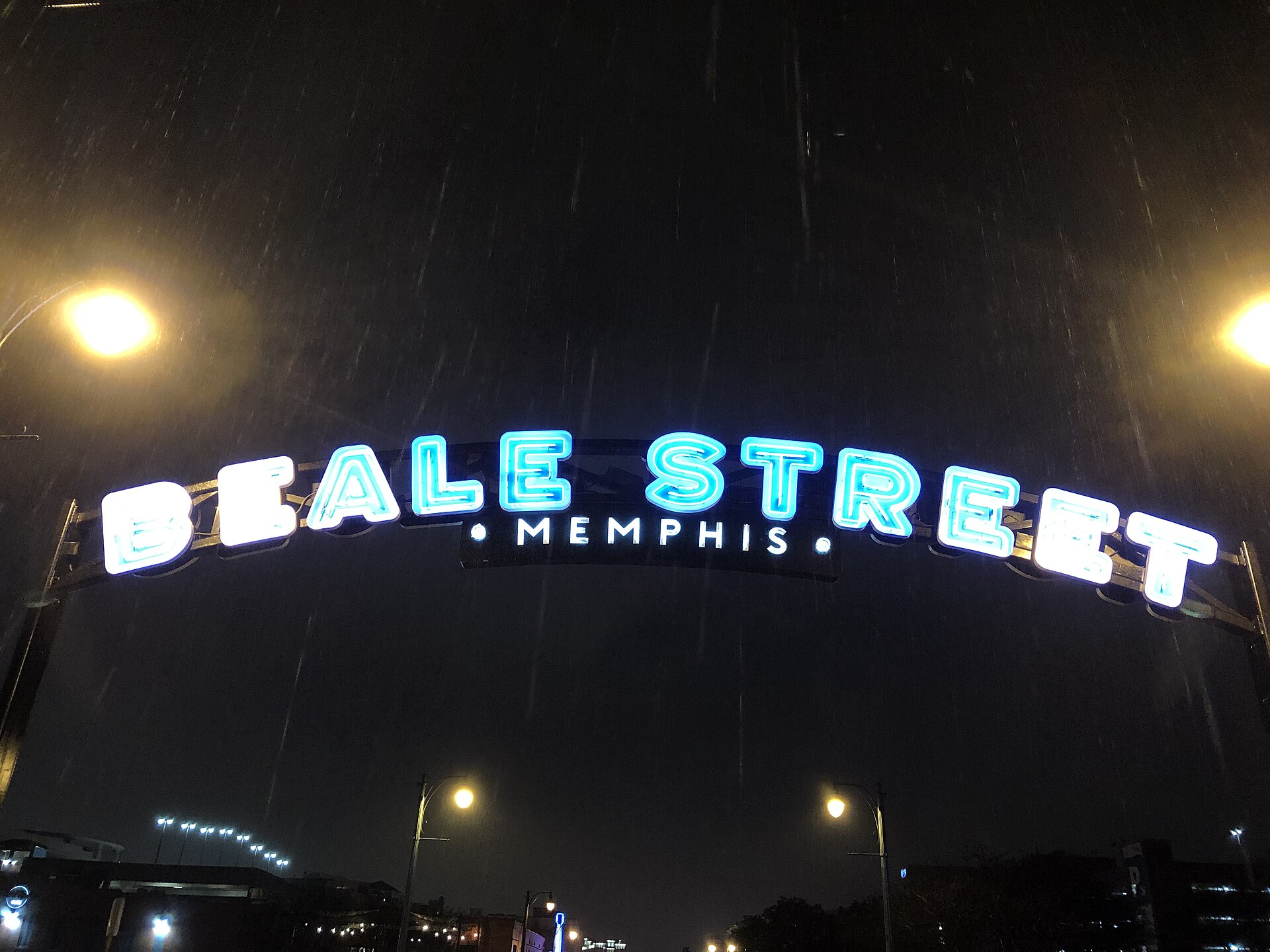
Downtown Memphis is the smallest and most tourist-facing residential district, built around converted warehouses, a handful of newer apartment towers, and the Beale Street Historic District recognised by the National Park Service. Full-time residential life there is a relatively recent development, concentrated in loft conversions rather than a historic housing stock.
Uptown, immediately north of Downtown, is a different case: a formally designated redevelopment area built around new and rehabilitated housing rather than a historic neighbourhood identity, detailed on this site’s page on what Uptown Memphis actually is. Harbor Town, on Mud Island, is a planned residential neighbourhood built from the late 1980s onward, distinct enough in form and history that it has its own explainer on what Harbor Town is. None of these areas function like a conventional American suburb — they are built at higher density and closer to the river, generally without the private yard space assumed further east.

What are East Memphis and the suburbs like?
East Memphis is the city’s principal postwar middle-class district: single-family houses on individual lots, strip retail rather than a single commercial corridor, and a housing stock built mostly from the 1950s through the 1980s. It is covered directly on this site’s page on what East Memphis is.
Beyond the Memphis city limits, Germantown and Collierville are separately incorporated suburban towns, each with their own municipal government, school system and town centre — Collierville’s historic Town Square is a defined civic space in its own right. The distinction between living inside Memphis proper and living in one of these suburbs is a real administrative one, not just a matter of distance, and is explained on this site’s pages on Germantown, Collierville’s Town Square and, directly, on the practical difference between Memphis, Germantown and Collierville.
What are the older historic neighbourhoods like — Orange Mound, Binghampton, Soulsville, Frayser?
Several of Memphis’s oldest residential neighbourhoods have a documented, specific history rather than a generic “historic” label. Orange Mound, on the city’s south side, is recorded as one of the first neighbourhoods in the United States built and developed specifically by and for African American residents, beginning in the early twentieth century, and is treated on its own page on what Orange Mound is. Soulsville, on the same side of the city, is the neighbourhood where Stax Records operated and where the Stax Museum of American Soul Music now stands on the label’s original site — covered on this site’s explainer on Soulsville. Binghampton, east of Midtown, is a smaller and less-documented neighbourhood with its own housing stock and community organisations, detailed on this site’s Binghampton page.
Frayser, in the north of the city, developed largely as a working-class suburb around mid-century industry and has a distinct housing pattern from the neighbourhoods nearer Downtown; its shape is set out on the page on what Frayser is. Broad Avenue, in the Binghampton area, has been redeveloped as an arts district around a cluster of galleries and studios, covered separately on the page about the Broad Avenue Arts District. Whitehaven, in the far south of the city near Graceland, is a large residential district with its own commercial spine and a housing stock built mostly from the 1950s onward, explained on the Whitehaven page.
How does crime and poverty actually vary by neighbourhood?
Crime and poverty in Memphis are genuinely uneven by neighbourhood, and both are matters of public record rather than reputation — but the specific numbers change year to year and by data source, so this site does not repeat a single stale figure as if it were current. The Memphis Police Department publishes its own crime data, and the U.S. Census Bureau’s American Community Survey publishes neighbourhood-level poverty and income figures that are updated annually; both should be read at the source rather than through a secondhand summary. This site’s own page on how Memphis is policed and crime is reported sets out how that data is structured and where it is published, without assigning a “safe” or “unsafe” label to any district — that judgement belongs to the reader and to their own government’s official travel guidance, not to a neighbourhood guide.
Do you need a car to actually live in these neighbourhoods?
In most of Memphis, yes. Downtown, Midtown and parts of Uptown and Harbor Town are walkable enough to support daily life without a car, helped by the Main Street trolley and a denser bus network in the older core. East Memphis, the suburbs, and most of the outer residential neighbourhoods are built at a density and layout that assumes a car for groceries, work and school. This site’s own pages on whether you need a car in Memphis and on which parts of Memphis are actually walkable set out that split in more detail, and the Getting Around archive covers the bus network, the trolley and cycling infrastructure specifically.
What should a new resident actually check before choosing a neighbourhood?
Housing stock, commute pattern and school-zone assignment are the three things that most affect daily life, and they vary sharply by neighbourhood — often more sharply within Memphis than between Memphis and its suburbs. Shelby County Schools and the separately run Germantown and Collierville school systems have different zoning, funding and enrolment structures, and a specific address determines which one applies. Beyond schools, the practical questions are ordinary ones: is there off-street parking, is the property inside a flood-prone stretch near a creek or bayou, and how far is the daily commute along Memphis’s arterial roads, which are covered generally on the site’s page on driving in Memphis. For a broader view of how these pieces fit together, the Living in Memphis hub and the Neighbourhoods archive collect the individual district pages referenced above in one place.
Related reading
getting around, planning, itineraries, food and the riverfront, museums, landmarks, neighbourhoods and day trips, Where Does Memphis’s Water Come From, and Why Is It Unusual?, What Is FedEx’s Place in the Memphis Economy?
Access Memphis is an independent guide written from published, checkable sources. We have not visited the places described here and we do not publish personal recommendations or invented ‘local favourites’ — where something is singled out as notable, we say who says so. Opening times, fares, closures and prices change at short notice, so treat everything here as a starting point and confirm with the museum, operator or venue directly before building a day around it. We give no advice on visas, insurance, health or safety; use your own government’s official guidance for those.
Featured image: Photo by Warren LeMay from Chicago, IL, United States, source, CC BY-SA 2.0
.jpg)