Orange Mound is a residential neighborhood in southeast Memphis, developed beginning in the 1890s on land that had been a plantation and then was subdivided specifically to sell to Black buyers. Local histories and the neighborhood’s National Register of Historic Places listing describe it as one of the first communities in the United States platted and marketed for African American homeownership, rather than settled through gradual movement into an already-built area.
Where is Orange Mound, and how did it start?
Orange Mound sits southeast of Midtown Memphis, east of the old Mid-South Fairgrounds and close to the University of Memphis campus. Its street grid is compact and largely residential, built out well before the automobile-oriented suburbs that later grew up around it.
The land was originally part of a plantation held by the Deaderick family. In the 1890s it was subdivided by developer Elzey Eugene Meacham, who sold small lots on installment terms to Black homebuyers at a time when most of Memphis’s housing market, formal and informal, was closed to them. That founding pattern — a developer selling directly to Black families rather than the neighborhood forming through white flight or later integration — is what sets Orange Mound apart in local histories held by institutions such as the Memphis and Shelby County Room and the University of Memphis’s own archives.
Why do historians call it one of the first neighborhoods of its kind?
The claim made repeatedly in local history accounts, and reflected in the neighborhood’s National Register of Historic Places nomination, is that Orange Mound was among the first, if not the first, subdivisions in the country built and marketed specifically for African American ownership rather than rental. By the early 1900s it had grown quickly into one of the largest Black communities in the country by population, with its own churches, schools, and small businesses serving residents who were largely shut out of a segregated citywide economy.
That self-sufficiency is part of why the neighborhood is treated as a distinct case study rather than simply one Memphis neighborhood among many. It developed its own institutional life at a moment when Jim Crow segregation limited where Black Memphians could live, work, and be educated, and it did so through ownership rather than as a landlord-controlled district.
What does the neighborhood look like today?
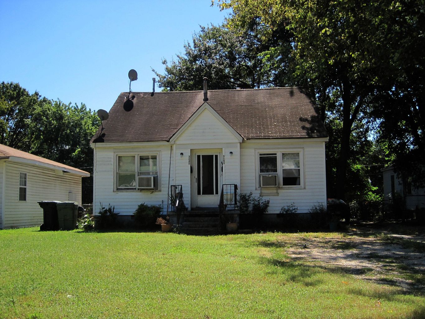
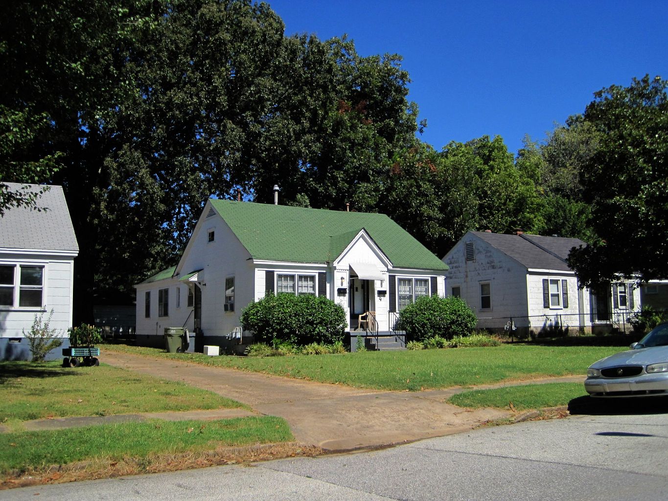
Much of Orange Mound’s housing stock consists of shotgun houses — narrow, single-story frame houses set close together, a vernacular housing type common across the South and widely used in the neighborhood’s original build-out. A section of the neighborhood is listed on the National Register of Historic Places as a historic district, a designation that recognizes the age, architectural consistency, and historical significance of the building stock rather than granting the area protected or restricted status in itself.
As with many of Memphis’s older inner-city neighborhoods, Orange Mound’s population today is smaller than its mid-20th-century peak. The city’s own comprehensive planning document, Memphis 3.0, addresses this pattern across older neighborhoods generally, attributing population loss in areas like Orange Mound to decades of suburban growth pulling residents and investment outward from the urban core. Vacant lots and deferred maintenance are visible in parts of the neighborhood, a condition shared with several other historically Black neighborhoods inside the interstate loop.

What is Melrose High School, and why does it come up?
Melrose High School sits in the heart of Orange Mound and has operated as one of the neighborhood’s central institutions for generations. It was originally part of Memphis City Schools, a district that no longer exists as a separate entity following the 2013 merger of Memphis City Schools with Shelby County Schools, an event covered in detail elsewhere on this site. Melrose has functioned as an anchor for Orange Mound in the way schools often do in older, single-neighborhood districts — a fixed institution that has outlasted several waves of demographic and economic change around it.
How does Orange Mound fit into Memphis today?
Orange Mound is close to redevelopment pressure rather than isolated from it. The former Mid-South Fairgrounds site immediately to its west has been the subject of a long-running city redevelopment effort, and University of Memphis expansion sits nearby to the north. Neither of these projects is part of Orange Mound itself, but both shape the land values and investment patterns around its edges, which is a live concern for residents who have watched redevelopment reshape adjoining neighborhoods without necessarily reaching their own streets.
For a reader trying to understand Memphis as a whole, Orange Mound is useful precisely because it does not fit the two most common outside narratives about the city: it is neither a downtown tourist district nor a suburb defined by newer housing stock. It is an old, intact, historically self-built Black neighborhood whose current condition — its vacancy, its historic designation, its adjacency to university and fairgrounds redevelopment — reflects citywide patterns discussed in more general terms in coverage of how Memphis neighborhoods actually function and what people mean when they describe Memphis as changing.
What should a visitor or new resident understand before treating it as a sight?
Orange Mound is a lived-in residential neighborhood, not a museum district or a stop on a standard tourist itinerary, and this site does not describe it as one. There is no operator, museum, or visitor center managing the neighborhood as a destination. Readers wanting to understand its history in more depth are better served by the National Register of Historic Places documentation and by local archival collections than by any generalized travel description, since those are the bodies that have actually researched and verified its record.
For residents, Orange Mound is a useful case for understanding how Memphis’s older neighborhoods sit alongside its newer growth corridors — a pattern covered in more general form in this site’s guide to how Memphis is governed and how city and county responsibilities split, since neighborhood-level investment decisions in Memphis often run through exactly that division of authority.
- Founding: subdivided from former plantation land in the 1890s and sold directly to Black buyers.
- Recognition: part of the neighborhood is listed on the National Register of Historic Places as a historic district.
- Anchor institution: Melrose High School, now part of Shelby County Schools.
- Context: adjacent to the former Mid-South Fairgrounds redevelopment and near the University of Memphis campus.
More on how individual Memphis neighborhoods function day to day is covered in this site’s guide to what Memphis neighborhoods are actually like to live in, with further neighborhood profiles in the neighborhoods archive. Broader context on the city’s growth and change is in what people mean when they say Memphis is changing, and on the split of authority behind neighborhood-level decisions in how Memphis is governed, and the city-county split explained. Background on Melrose High School’s district is covered in what happened when Memphis City Schools merged with the county, and on the nearby campus in the University of Memphis’s place in the city. General orientation to living in Memphis is available from the Living in Memphis hub.
Access Memphis is an independent guide written from published, checkable sources. We have not visited the places described here and we do not publish personal recommendations or invented ‘local favourites’ — where something is singled out as notable, we say who says so. Opening times, fares, closures and prices change at short notice, so treat everything here as a starting point and confirm with the museum, operator or venue directly before building a day around it. We give no advice on visas, insurance, health or safety; use your own government’s official guidance for those.
Featured image: Photo by Thomas R Machnitzki (thomasmachnitzki.com), source, CC BY 3.0
