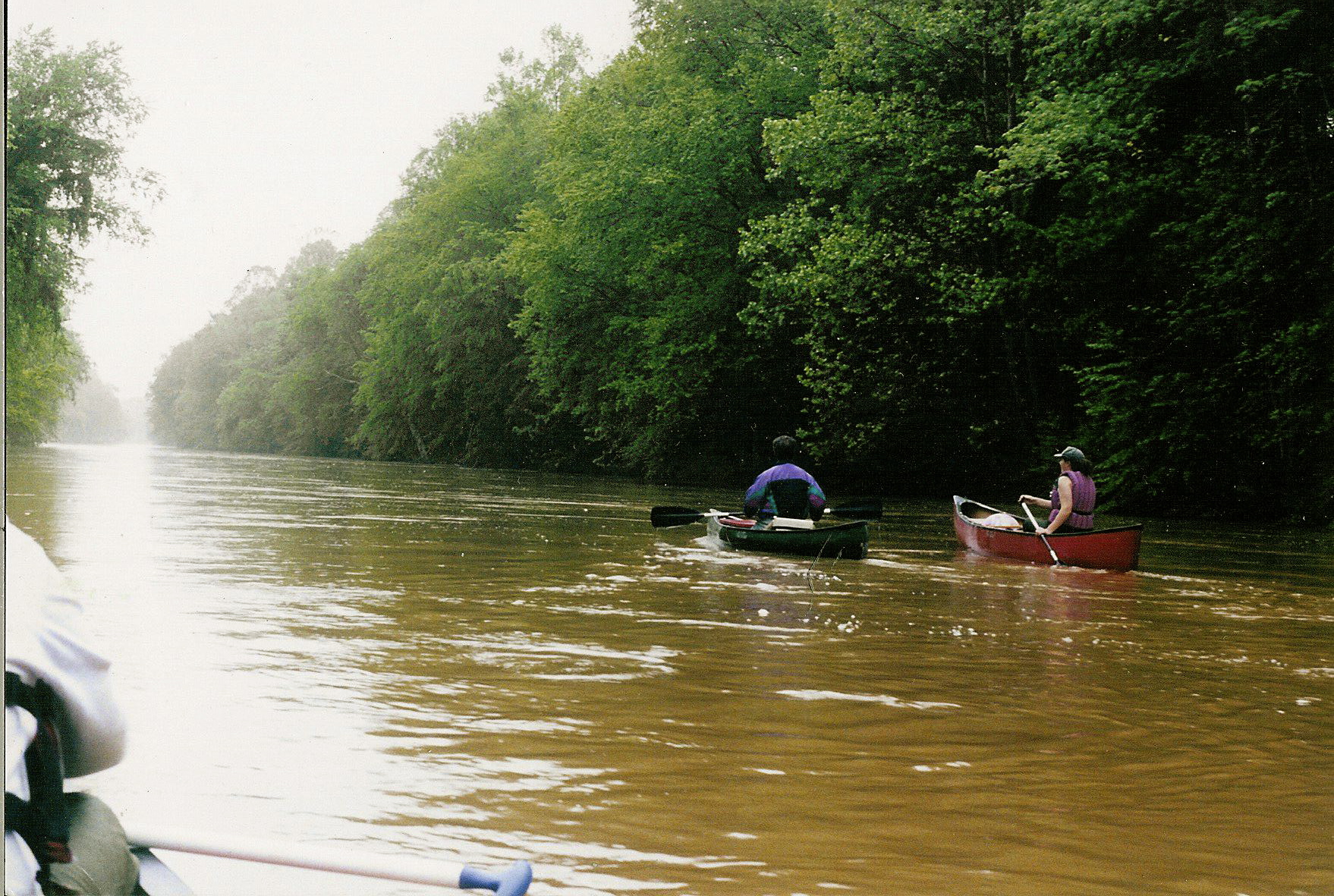
The Wolf River Greenway is a paved, multi-use trail being built in phases along the Wolf River in Memphis and Shelby County, for walking, running and cycling. It is led by the Wolf River Conservancy, a nonprofit river-protection group, working with the City of Memphis and Shelby County government. When finished, it is meant to connect downtown to Shelby Farms Park.
Who built the Wolf River Greenway, and why?
The Wolf River Conservancy has worked since 1985 to protect the Wolf River corridor, which runs roughly 90 miles from its headwaters near the Tennessee–Mississippi state line to its confluence with the Mississippi River at the north edge of downtown Memphis. The conservancy’s stated mission, as set out on its own site, is protecting the river’s water quality, wetlands and bottomland hardwood forest — much of it inside Shelby County, where development pressure is greatest.
The greenway grew out of that protection work rather than the other way around. A paved public trail along protected land gave the conservancy, the city and the county a way to open the corridor to residents without giving up the conservation purpose. Construction has been funded through a mix of city and county capital budgets, state and federal grants, and private and conservancy fundraising, built one segment at a time rather than as a single project.
Where does the Wolf River Greenway run?
The greenway follows the Wolf River corridor from near its mouth at the Mississippi River, at the north end of downtown Memphis close to Mud Island, eastward through Frayser and Raleigh, along the edge of Binghampton, and on toward Shelby Farms Park. From there, the route is designed to meet the Shelby Farms Greenline, the paved rail-trail that already runs from Shelby Farms Park into Midtown.
That end-to-end description is the intended shape of the project, not a claim that every mile is currently open to walk in one continuous stretch. Segments have opened at different times over more than a decade, with gaps between them still under construction or in planning. The Wolf River Conservancy publishes an interactive map of what is currently built, and that map is the reliable way to check which stretches are actually walkable on a given date.

How long is the trail, and is it finished?
The Wolf River Conservancy’s own materials describe a planned greenway of roughly 26 miles across Memphis and Shelby County, as one piece of a larger regional vision — sometimes called the Greater Memphis Greenline — that would eventually link greenway and greenline trails across the county to something closer to 60 miles. The completed, rideable mileage at any given time is smaller than that final figure, because construction proceeds segment by segment as funding and permitting allow.
Readers planning a specific route should treat any number here as a snapshot rather than a fixed fact, and confirm current open segments and trailhead locations on the Wolf River Conservancy’s own site before setting out.
What is the Wolf River itself?
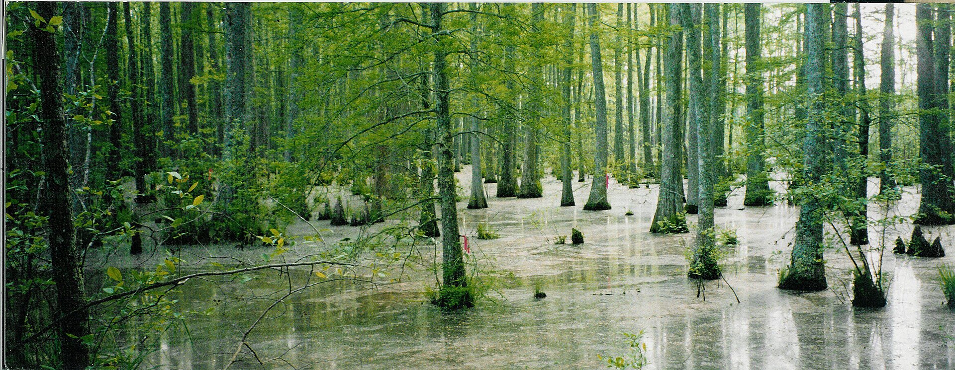
The Wolf River is a tributary of the Mississippi River. It rises in Benton County, Mississippi, and flows northwest into Tennessee, entering Shelby County and running through Germantown, Memphis and Frayser before joining the Mississippi at Wolf River Harbor, near the north tip of downtown and Mud Island. Its lower miles include bottomland hardwood forest and wetlands that the Wolf River Conservancy has spent decades trying to keep intact, since this floodplain also functions as natural flood storage for the city upstream of downtown.
The greenway runs largely within or alongside this protected corridor, which is part of why the trail passes through wooded, undeveloped stretches even close to dense city neighborhoods, rather than running through built-up streets the way a typical urban path would.
How does it connect to the rest of Memphis’s trail network?
At its eastern end, the Wolf River Greenway is designed to meet the Shelby Farms Greenline, which already connects Shelby Farms Park to Midtown along a former rail line. At its western end, the greenway approaches the Mississippi riverfront near Mud Island River Park, which sits at the point where the Wolf River meets the Mississippi. Neither of these connections should be assumed complete on any given visit; each is a planned or partial link that the conservancy’s map will show as open or not.
The wider goal, as described in the city’s and county’s own greenway planning documents, is a countywide network of paved trails linking major parks, so that Shelby Farms Park, the riverfront and neighborhood greenways function as one connected system rather than isolated paths. The Wolf River Greenway is the piece of that system running along the Wolf River corridor specifically.
Who uses it, and what is it built for?
As a paved multi-use trail, the greenway is built to the same general standard as other American greenways: a wide asphalt or concrete surface suited to walking, running, cycling and, on completed sections, stroller and wheelchair use, separated from road traffic. It is free and open to the public, with no admission charge, in keeping with its status as public parkland rather than a managed attraction.
The Wolf River Conservancy also uses parts of the corridor for guided paddling trips and habitat programming on the river itself, separate from the paved greenway, reflecting the fact that the greenway sits inside a working conservation project rather than a standalone recreation amenity.
What should someone using it know before setting out?
The greenway is not a downtown attraction in the way Beale Street or the riverfront are. Its open segments run through residential and semi-wooded parts of Memphis and Shelby County, with trailhead parking rather than dense commercial areas nearby, so it functions more like the routes described in the site’s guide to parks and the riverfront than like a walkable downtown loop. Anyone planning a specific stretch should confirm the current open map, trailhead parking and any closures directly with the Wolf River
Related reading
what the city is like to actually live in, getting around, planning, itineraries, food and the riverfront, museums, landmarks, neighbourhoods and day trips, What Is Martyrs Park in Memphis, and What Does It Memorialize?, What Is the Memphis Botanic Garden? A Clear Guide
Access Memphis is an independent guide written from published, checkable sources. We have not visited the places described here and we do not publish personal recommendations or invented ‘local favourites’ — where something is singled out as notable, we say who says so. Opening times, fares, closures and prices change at short notice, so treat everything here as a starting point and confirm with the museum, operator or venue directly before building a day around it. We give no advice on visas, insurance, health or safety; use your own government’s official guidance for those.
Featured image: Photo by Gary Bridgman, source, CC BY-SA 3.0
