===ARTICLE-BODY-BELOW===
What actually lives along the Memphis riverfront?
The Memphis riverfront is a run of parks, bridges and civic landmarks strung along Riverside Drive above the Mississippi River, plus the river itself — a working channel that carries barge traffic, migratory birds and fish that never make it into a brochure. It is both a built strip of public land and one edge of a continental flyway and floodplain.
Where does “the riverfront” actually start and stop?
Downtown Memphis sits on the fourth Chickasaw Bluff, one of a handful of high bluffs along this stretch of the lower Mississippi, which is why the city center rises well above the water rather than sitting in the floodplain. The riverfront corridor typically means the strip from the Pinch District and Uptown in the north, down past the cobblestone landing and Beale Street, to Martyrs Park and the area near the Memphis and Arkansas Bridge in the south — most of it fronted by Riverside Drive.
What parks sit directly on the water?
Several distinct public parks make up the developed riverfront, each with a different origin and use:
- Tom Lee Park, the largest of them, named for a Black riverman who rescued passengers from a sinking steamboat in 1925 and rebuilt as a landscaped park in 2023.
- Martyrs Park, a smaller riverside plot tied to the memory of Memphis’s 19th-century yellow fever epidemics.
- Mud Island River Park, a peninsula that grew from a sandbar built up by river engineering in the 20th century, now holding a museum and a scale model of the lower Mississippi.
Together these are managed as part of a connected system; the Memphis River Parks Partnership, the nonprofit that stewards much of this land, describes its own mission on its site as maintaining and programming the public riverfront on the city’s behalf.
What wildlife actually lives on this stretch of river?
The Mississippi River corridor through Memphis sits inside the Mississippi Flyway, a migratory bird route the U.S. Fish and Wildlife Service manages as one of four major flyways in North America. Waterfowl move through the area in spring and fall, and bald eagles are commonly reported wintering along this reach of the river by state wildlife agencies and the National Park Service, which documents eagle populations at several points along the Mississippi’s course. In the water itself, the Tennessee Wildlife Resources Agency lists catfish species — blue, channel and flathead — among the fish that anglers commonly catch from the Memphis riverbank and nearby access points; paddlefish and Asian carp are also present in this stretch, per state fisheries reporting. None of this is staged for viewing — it is simply what a large, slow, warm-water river running through the middle of the country supports.
What buildings and structures define the riverfront?
A handful of large structures anchor the skyline and the shoreline:
- A large stainless-steel pyramid built in 1991 as a sports arena, now operating as a retail and outdoor-goods store — one of the more recognizable silhouettes on the river.
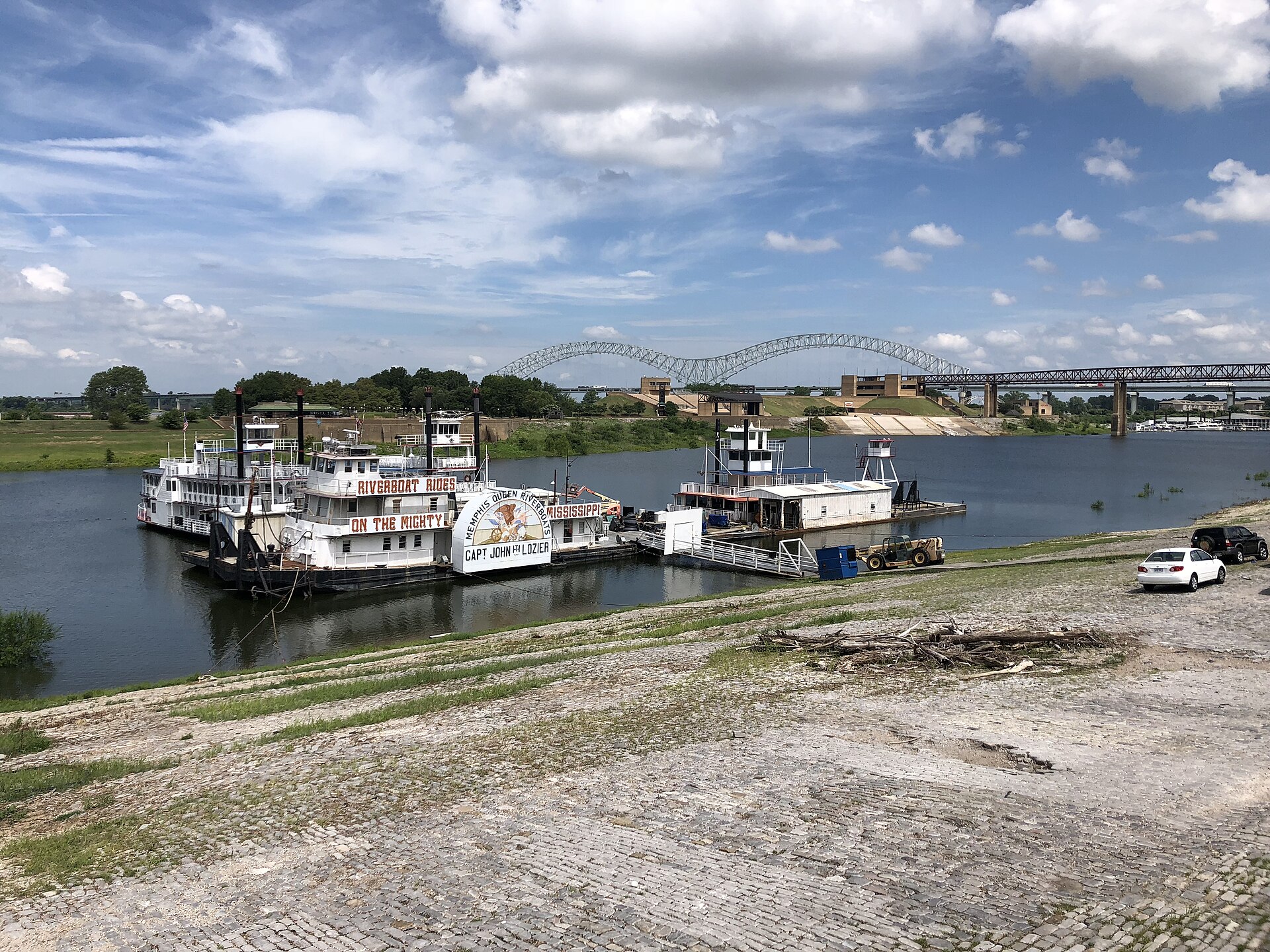
- The Hernando de Soto Bridge, carrying Interstate 40 across the river on a distinctive pair of steel M-shaped arches, which gives it its local nickname.
- Beale Street Landing, the riverboat terminal and visitor point built at the foot of Beale Street, completed in 2014.
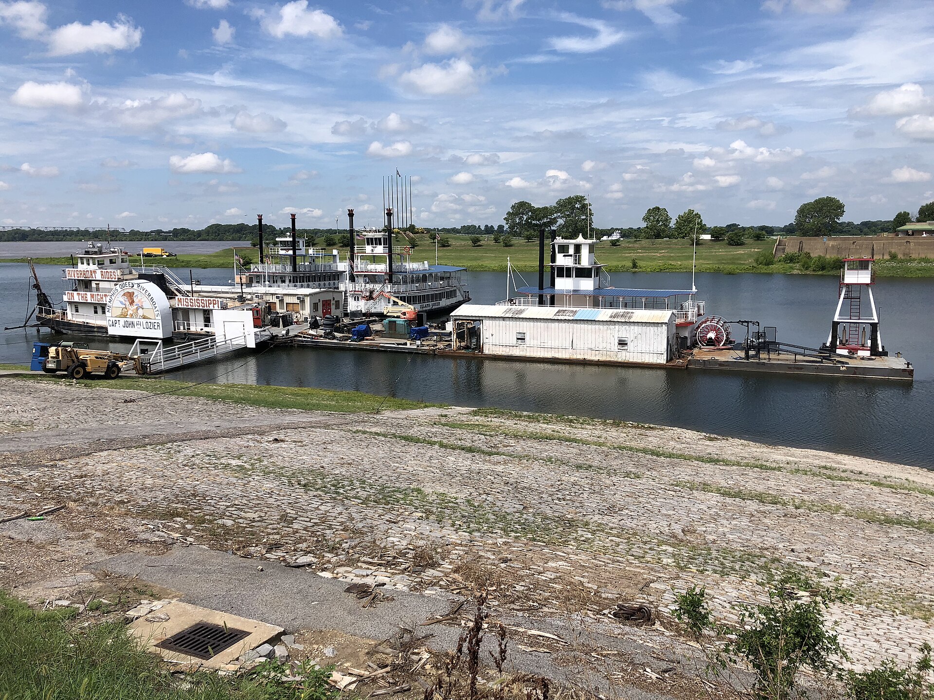
- The historic cobblestone landing along the downtown riverbank, a 19th-century stone landing built for steamboat loading and listed on the National Register of Historic Places.

Can you get onto the river itself?
Access to the water is limited and shaped by the river’s currents, which the National Park Service and local agencies both note can be strong and unpredictable even where the surface looks calm. A separate article on this site, whether you can swim or boat in the Mississippi at Memphis, sets out what official guidance actually says about entering the water here, and where organized boating happens instead.
Pedestrians and cyclists can cross the river itself on the Big River Crossing, a repurposed rail bridge converted to a walking and cycling path connecting downtown Memphis to West Memphis, Arkansas — one of the longer pedestrian bridges over the Mississippi.
What changed with Tom Lee Park in 2023?
Tom Lee Park underwent a significant redesign completed in 2023, changing its layout, planting and use of the riverbank considerably from its earlier flat-lawn form. The details of that redesign — what was added, what was removed, and why — are covered in full in what is Tom Lee Park, and what changed in 2023.
How does the riverfront actually function for people who live here?
For residents, the riverfront is less a destination than a stretch of everyday infrastructure: a running and cycling route, a place events are staged, and a flood-prone edge that periodically closes. Riverside Drive itself is subject to closures tied to river levels and to major events, a pattern covered separately on this site under parks and riverfront coverage. Memphis in May, the city’s largest annual festival period, concentrates much of its programming on this same strip of riverfront parkland, which is one reason the corridor’s design and capacity get revisited every few years.
The riverfront also floods on a schedule set by the river, not the calendar — the Mississippi here rises seasonally, generally highest in late winter and spring, and low water in late summer can expose sandbars that are not present the rest of the year. This is a durable feature of the landscape rather than an event, and it shapes what is usable at the water’s edge at any given time of year.
What should a first-time visitor take from all this?
The riverfront is a place to understand rather than simply photograph: a bluff-top city looking out over a working river, a set of parks with genuine historical weight, and a flyway and fishery that predate any of the built landmarks. Readers planning a visit around this area can find broader context in the Memphis guide for landmarks and neighborhoods, or in Memphis practical for how the riverfront fits into a wider day of planning and getting around the city.
Anyone weighing what else the river corridor touches — from the neighborhoods that back onto it to the parks system further inland — can start from the neighbourhoods archive, which covers how districts like Uptown and Harbor Town relate to this same stretch of the Mississippi.
Access Memphis is an independent guide written from published, checkable sources. We have not visited the places described here and we do not publish personal recommendations or invented ‘local favourites’ — where something is singled out as notable, we say who says so. Opening times, fares, closures and prices change at short notice, so treat everything here as a starting point and confirm with the museum, operator or venue directly before building a day around it. We give no advice on visas, insurance, health or safety; use your own government’s official guidance for those.
Featured image: Photo by Bjoertvedt, source, CC BY-SA 4.0
