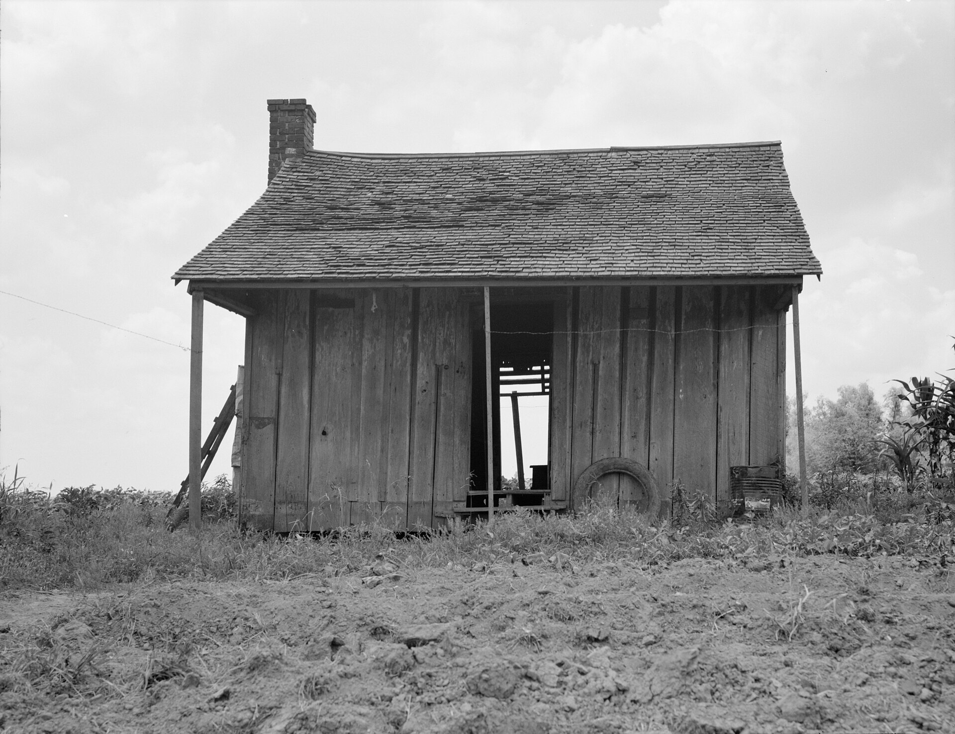
The Mississippi Delta is not the delta at the river’s mouth — that landform is 400 miles further south, near the Gulf of Mexico. This “Delta” is a flat, historically flooded farming region in northwest Mississippi, roughly between Memphis and Vicksburg. It begins, depending on who is measuring, either at a specific river bluff or at the edge of Memphis itself.
What is the Mississippi Delta, exactly?
It is an alluvial plain built up over thousands of years by repeated flooding of the Mississippi River and, on its eastern edge, the Yazoo River. Geographers and the state of Mississippi itself often call it the Yazoo–Mississippi Delta, a name that distinguishes it from the true river delta on the Gulf Coast.
The soil is deep, dark and flat — a result of centuries of sediment deposit before levees confined the rivers. That soil made the region one of the most productive cotton-growing areas in the country from the plantation era through the 20th century, a history documented by the Mississippi Encyclopedia, a project of the Mississippi Humanities Council and Center for Study of Southern Culture at the University of Mississippi.
Where does the Delta actually begin?
Geographically, most sources place the northern edge of the Yazoo–Mississippi Delta at Memphis, Tennessee, or just south of it, where the bluffs the city sits on give way to flat bottomland. The Mississippi Delta National Heritage Area, a designation created by Congress and coordinated with the National Park Service, defines the region as eighteen counties in northwest Mississippi running south to around Vicksburg.
So the technical northern boundary sits at the Mississippi state line, not inside Memphis proper. But Memphis is where the bluff ends and the flood plain begins, which is why the city is treated as the Delta’s practical starting point even though it sits in Tennessee, not Mississippi.
Is this the same as the “Mississippi River Delta” near the Gulf?
No, and the two are frequently confused. The Mississippi River Delta is the fan-shaped landform where the river deposits sediment into the Gulf of Mexico, mostly in southeast Louisiana. That is a delta in the strict geological sense — land built at a river’s mouth.
The Mississippi Delta discussed here is inland, a flood plain between two rivers, and its name refers to a region and a culture rather than a landform in the technical sense. Both usages are correct within their own contexts; they simply describe different places.
Why do people say the Delta “begins in the lobby of the Peabody”?
The line is attributed to the writer David L. Cohn, in his 1935 book God Shakes Hands with the Mississippi, which opens with the claim that “the Mississippi Delta begins in the lobby of the Peabody Hotel in Memphis and ends on Catfish Row in Vicksburg.” It is a writer’s framing, not a survey boundary, and is repeated in Mississippi-focused cultural and literary histories as the most quoted description of the region’s cultural, rather than strictly geographic, edge.
The line has stuck because it captures something true: the Delta is defined as much by cotton economics, migration and music history as by hydrology. Memphis functioned as the region’s market town, rail hub and, later, recording center — the place Delta life and Delta money moved through, even though the flood plain itself lies south of the city.
What defines the Delta as a place, beyond geography?
Several things recur across how historians and cultural institutions describe the region:
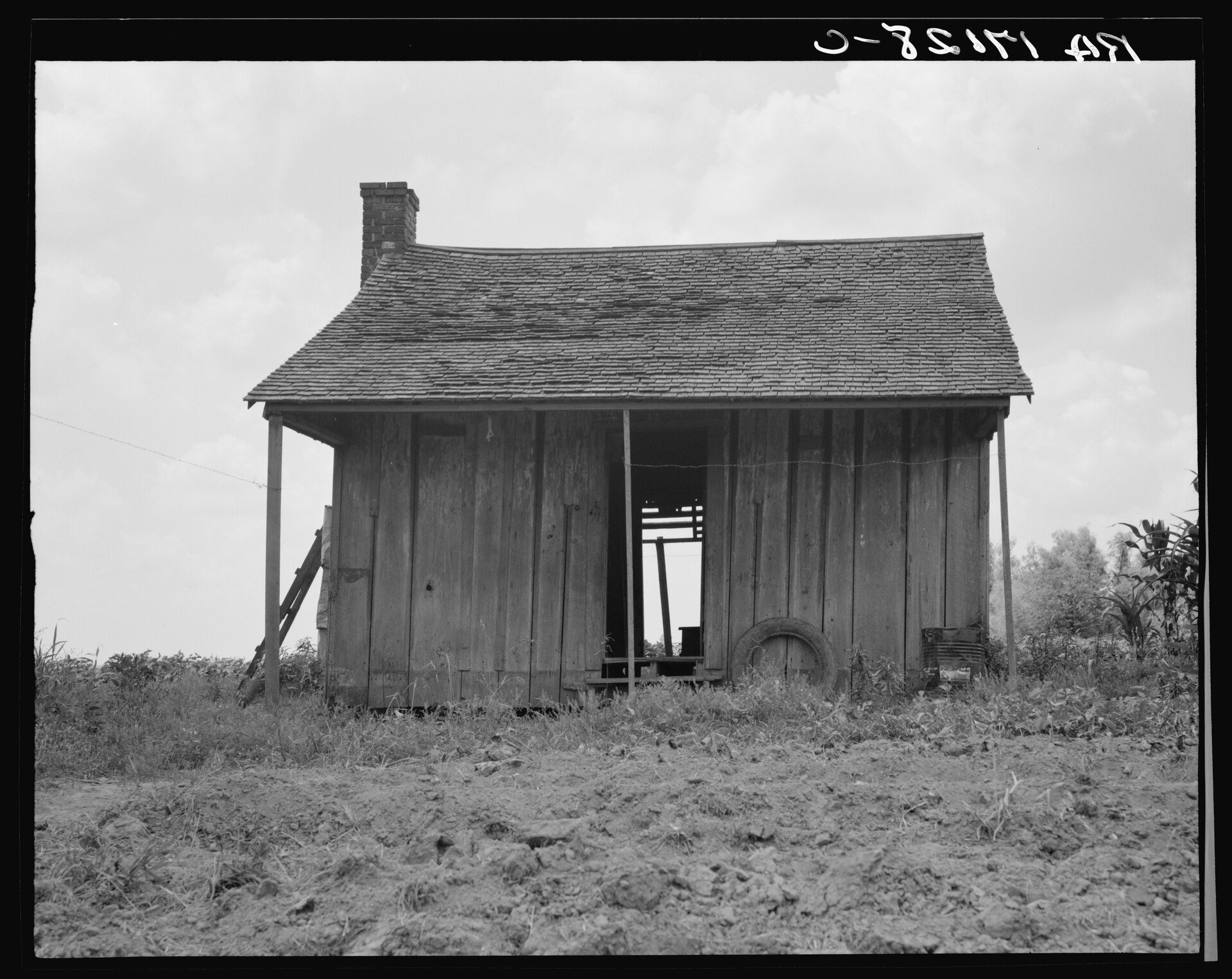
- Cotton agriculture and its labor history. Plantation agriculture, and after emancipation, sharecropping, structured Delta life for generations, a history the Mississippi Encyclopedia and the Smithsonian’s own historical writing on the region document in detail.
- The Great Migration. Mechanization of cotton farming in the mid-20th century displaced large numbers of Black Delta residents, many of whom moved north, a pattern documented by the Smithsonian National Museum of African American History and Culture among others.
- The blues. The Mississippi Blues Trail, maintained by the Mississippi Development Authority’s tourism division, marks sites across the Delta tied to musicians including Muddy Waters, Robert Johnson and Charley Patton, and treats the region as the acknowledged birthplace of Delta blues.
- Flat, table-top farmland. Unlike the rolling hill country elsewhere in Mississippi, the Delta reads visually as continuous cropland to the horizon, a landscape shaped directly by its flood-plain origin.
What towns define the Delta today?
Clarksdale is the town most closely tied to Delta blues tourism, home to the Delta Blues Museum and marked heavily on the Mississippi Blues Trail; Access Memphis covers what Clarksdale is and why people go for the blues in more detail. Tunica, closer to Memphis, has a different modern identity built around riverfront casino development, covered separately in what Tunica, Mississippi is and what is there now. Greenville, Cleveland and Indianola are among the larger Delta towns further south, each documented in Mississippi state and county historical records rather than in national guidebooks.
Vicksburg, at the Delta’s traditional southern edge, is tied more to Civil War history — the Vicksburg National Military Park, administered by the National Park Service — than to blues history, marking a rough cultural as well as geographic boundary.
How does Memphis relate to the Delta if it isn’t technically in it?
Memphis sits on the Chickasaw Bluffs, on the Tennessee side of the state line, above the flood plain proper. But its economic history is inseparable from the Delta’s: it was the region’s cotton market, its rail and river shipping point, and later a recording center that drew musicians up from Delta towns, a history reflected in the collections of Sun Studio and the Stax Museum of American Soul Music.
That is the practical reason Memphis functions as the Delta’s gateway for visitors and researchers alike, even though the strict geographic and heritage-area boundary sits south of the city, at the Mississippi state line.
How would someone actually visit the Delta from Memphis?
Clarksdale is roughly an hour’s drive south of Memphis on Highway 61, a route with its own history in blues songwriting. Tunica is considerably closer, closer to the airport than to downtown Memphis itself. Neither town is reachable by Memphis’s own public transit system; a Delta day trip from Memphis assumes a car.
Access Memphis’s Day Trips archive covers specific routes and towns individually, and the site’s Memphis Practical hub is the place to start for how to get around the wider region, including driving basics, since Delta roads and Memphis city streets are governed by different practical concerns.
Is the Delta an official protected or designated region?
Yes, in one specific sense. The Mississippi Delta National Heritage Area was designated by Congress and is coordinated through the National Park Service, working with the Delta Center for Culture and Learning at Delta State University as the area’s local management entity. That designation covers eighteen counties in the Mississippi flood plain and exists to support preservation and interpretation of the region’s cultural history — cotton agriculture, the blues, and civil rights history among them — rather than to manage land in the way a national park does.
This is different from a National Register listing for an individual building, or from a state park’s protected boundary; a heritage area is a coordination and funding designation over a broad cultural region, not a single site.
Where does this leave a reader trying to picture the Delta?
The clearest way to hold the two definitions apart: the geological Mississippi River Delta is at the Gulf Coast, in Louisiana. The Mississippi Delta discussed in blues history, cotton history and civil rights history is an inland flood plain in northwest Mississippi, running roughly from the Tennessee state line south to Vicksburg, with Memphis functioning as its historical gateway city rather than as part of the region itself.
Readers planning a Memphis visit that includes Delta towns will find the wider practicalities of moving around the region — car rental, road conditions, distances between towns — addressed more fully in the site’s Memphis Guide hub and Planning & Practicalities archive, while day-to-day life in Memphis itself, separate from the Delta question, is covered in Living in Memphis.
Access Memphis is an independent guide written from published, checkable sources. We have not visited the places described here and we do not publish personal recommendations or invented ‘local favourites’ — where something is singled out as notable, we say who says so. Opening times, fares, closures and prices change at short notice, so treat everything here as a starting point and confirm with the museum, operator or venue directly before building a day around it. We give no advice on visas, insurance, health or safety; use your own government’s official guidance for those.