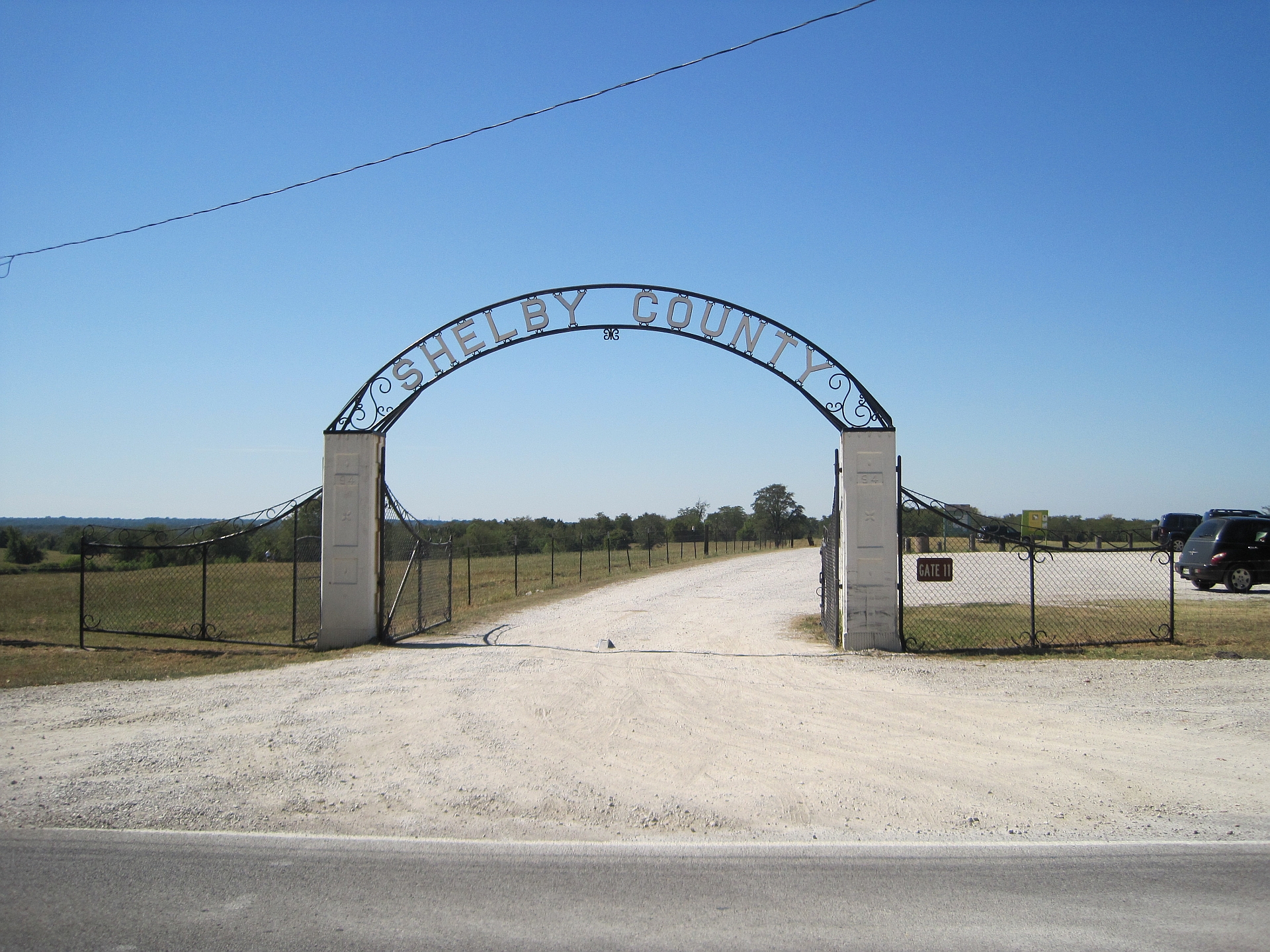
The Shelby Farms Greenline is a paved, multi-use trail built along a former railroad corridor, running roughly 10.65 miles from the eastern edge of Midtown Memphis out to Shelby Farms Park and on toward Cordova. It is used for walking, running and cycling, and it is maintained by the Shelby Farms Park Conservancy.
Where does the Greenline actually run?
The trail starts near the intersection of Tillman Street and Southern Avenue, on the border of the Binghampton neighborhood, and heads east in a fairly straight line — a legacy of its origin as a rail bed. It passes through residential areas, crosses several major roads at grade, and enters Shelby Farms Park before continuing to a trailhead near Cordova. The Shelby Farms Park Conservancy’s own site is the authoritative source for the current mile markers and trailhead locations, since access points have been added over time.
What was there before the trail?
The corridor was originally a rail line used for freight service east of the city, part of the same broader rail network that once linked Memphis’s industrial districts to points inland. When the line was abandoned for active freight use, the corridor was converted rather than sold off piecemeal — a pattern used elsewhere in the country to turn disused rail beds into public trails. That history explains the trail’s unusually consistent grade and its long, uninterrupted sightlines; rail corridors were engineered to avoid steep grades, and the trail inherited that engineering.
What is Shelby Farms Park, and how does the Greenline connect to it?
Shelby Farms Park is a large park east of Midtown, run by the Shelby Farms Park Conservancy, a public-private partnership that manages the land on behalf of Shelby County. The park itself contains lakes, pastureland, a bison herd, and separate trail systems for hiking, mountain biking and horseback riding. The Greenline functions as the park’s western spine — it is the direct, traffic-free route between the neighborhoods around Midtown and Binghampton and the park’s main areas, and it is how a meaningful share of park visitors arrive without a car.
Who maintains and operates the Greenline?
The Shelby Farms Park Conservancy maintains the trail, including paving, signage, lighting in sections, and trailhead facilities. The Conservancy is a nonprofit that also raises funds for capital projects on the trail and in the park; its own site is the correct place to check current conditions, closures for maintenance, or any planned extensions, since these details change independently of anything written here.

What can you actually do on the Greenline?
The trail is paved for its length and is used for:
- Walking and running, including organized events that the Conservancy or local running clubs schedule along the route from time to time
- Road and hybrid cycling, since the surface is paved rather than gravel or dirt
- Access to Shelby Farms Park’s separate unpaved trail network, which is set up for mountain biking and horseback riding rather than road use
Because the corridor crosses several roads at street level rather than by bridge or underpass, cyclists and runners cross active traffic at multiple points along the route — a structural fact of the trail’s design rather than an opinion about it.
How do you get to the Greenline without a car?
The western trailhead sits at the edge of Binghampton, a neighborhood covered in more detail on this site, and is reachable from Midtown on foot or by bike given how those areas connect. Memphis’s bus network, run by MATA, serves the general corridor along Sam Cooper Boulevard and Walnut Grove Road, though the Greenline itself has no dedicated transit stop — anyone relying on the bus network should check MATA’s own route planner for the closest stop to a given trailhead. For a broader sense of whether transit and walking cover enough of the city to skip a car altogether, see this site’s honest answer on whether you need a car in Memphis and the overview of what MATA is and how the bus network works.
Does the Greenline connect to other Memphis trails?
Within Shelby Farms Park, the Greenline connects to the park’s internal trail system, which is separately marked and surfaced for hiking, mountain biking and equestrian use. Memphis has other, separate trail and greenway projects in different parts of the city — including riverfront paths downtown — but these are distinct systems with their own management, not physically continuous with the Greenline. Anyone planning a route that combines several of these should treat them as separate networks and check each operator’s own map rather than assuming a single connected trail spans the city.
Is the Greenline free to use, and does it close?
The trail itself is a public path with no admission charge, consistent with its status as county-connected public infrastructure rather than a ticketed attraction. Specific hours, seasonal maintenance closures, and any temporary detours around construction are set by the Shelby Farms Park Conservancy and are best confirmed on its own site before a visit, since these are exactly the kind of operational detail that changes without much public notice.
Why does the Greenline matter to how Memphis works day to day?
For residents in Midtown, Binghampton and the neighborhoods along the route, the Greenline is a functional commuting and recreation corridor, not just a park amenity — it is flat, direct, and free of car traffic for most of its length, which is unusual in a city where walkability varies sharply by neighborhood. For a visitor trying to understand how Memphis’s neighborhoods fit together, the Greenline is a useful physical reference: it is one of the few fixed lines connecting the denser, older grid of Midtown to the more suburban, park-anchored geography further east. Broader context on how the city’s neighborhoods relate to one another is covered in this site’s guide to Memphis’s museums, landmarks and neighborhoods, and general planning questions — including transport, parking and getting around — are addressed in the practical planning hub. For a fuller picture of what daily life and infrastructure look like across the city, see the hub on living in Memphis, and for background on the neighborhood at the trail’s western end, see what Binghampton is and where it sits. Anyone tracking trail conditions, extensions or closures in real time should go directly to the Shelby Farms Park Conservancy’s own website, which is the operator of record for the Greenline.
Access Memphis is an independent guide written from published, checkable sources. We have not visited the places described here and we do not publish personal recommendations or invented ‘local favourites’ — where something is singled out as notable, we say who says so. Opening times, fares, closures and prices change at short notice, so treat everything here as a starting point and confirm with the museum, operator or venue directly before building a day around it. We give no advice on visas, insurance, health or safety; use your own government’s official guidance for those.
Featured image: Photo by Thomas R Machnitzki, source, CC BY 3.0
