There is no single trail sign anywhere in Memphis that reads “Riverfront Loop.” The phrase is an informal name — used by cyclists, walkers and increasingly by the city’s own planning language — for the connected chain of riverfront parks, paths and one repurposed bridge that lets someone move on foot or by bike along the Memphis bluff, out onto Mud Island, and across the Mississippi into Arkansas and back. It is a route, not a single project.
Who Actually Manages This Stretch of Riverfront?
The parks that make up the loop are overseen by Memphis River Parks Partnership, a nonprofit that operates under agreement with the city of Memphis and is the successor to the older Riverfront Development Corporation. Its own site sets out which parks, landings and paths it maintains, and it is the authority to check for current trail conditions, closures or maintenance work before planning a route.
This matters because the riverfront is not one continuous, city-built path with uniform signage. It is a set of separately developed parks — some decades old, some rebuilt within the last few years — stitched together along the bluff and the harbor.
What Does the Loop Actually Connect?
Read as a continuous route, the pieces most often described as the “loop” run roughly like this, north to south along the Memphis side:
- The Mississippi River Greenbelt Park on Mud Island, a linear park along the river’s edge north of downtown.
- Harbor Town, the residential neighborhood built on Mud Island, whose streets and river-facing path form the connector between the Greenbelt and downtown.
- Cobblestone Landing and the downtown riverfront promenade, the historic stone landing beneath the bluff.
- Tom Lee Park, the long riverside park running south from downtown, rebuilt and reopened in 2023.
- The Big River Crossing, the converted railroad bridge (also called the Harahan Bridge’s pedestrian deck) that carries walkers and cyclists across the Mississippi to West Memphis, Arkansas.
Put together, these give a route of several continuous miles along the Tennessee side, with the option to extend the walk or ride onto Arkansas soil via the Big River Crossing.
Does It Actually Cross the River and Loop Back?
Partly. The Big River Crossing is a genuine pedestrian and cyclist crossing of the Mississippi, separate from vehicle traffic, running alongside the rail bridge just south of downtown. It connects to a trail network on the Arkansas side around West Memphis.
What it does not do is form a closed loop by itself. The other Mississippi River crossing at Memphis, the Hernando de Soto Bridge (the “M Bridge”), carries Interstate 40 traffic and has no pedestrian or cycling path. So a rider who crosses into Arkansas on the Big River Crossing returns to Memphis the same way, on the same bridge. The “loop” quality of the route comes from the Memphis-side parks forming a circuit along the bluff and riverbank, not from a full crossing-and-return over two different bridges.
How Long Is It, and Is It Better Walked or Ridden?
The Memphis-side portion, from Mud Island’s Greenbelt down through Harbor Town, the downtown promenade and Tom Lee Park, covers several miles of mostly flat, paved or hard-packed path. Adding the round trip across the Big River Crossing extends that considerably, since the bridge deck itself runs roughly a mile each way.
Memphis River Parks Partnership’s own materials describe the network as usable on foot or by bike, and Access Memphis’s own assessment of cycling in the city — see How Good Is Cycling in Memphis? — treats the riverfront paths as among the more reliably rideable stretches in a city that is otherwise mixed for cycling.

What Happened to Tom Lee Park?
Tom Lee Park, the central spine of the loop’s downtown-to-south stretch, was rebuilt in a major redesign that reopened in 2023, replacing what had been a largely open grass strip with a landscaped park of distinct zones, paths and gathering spaces. The park is named for Tom Lee, a Memphis riverworker who rescued survivors of a steamboat sinking on the river in 1925; the fuller account of who he was and what the park commemorates is covered in Access Memphis’s article on Tom Lee Park and who Tom Lee was.
The redesign was carried out with Memphis River Parks Partnership as the managing body, and it changed the physical shape of the loop’s midsection considerably from what existed before.
How Does the Loop Connect to the Rest of Downtown?
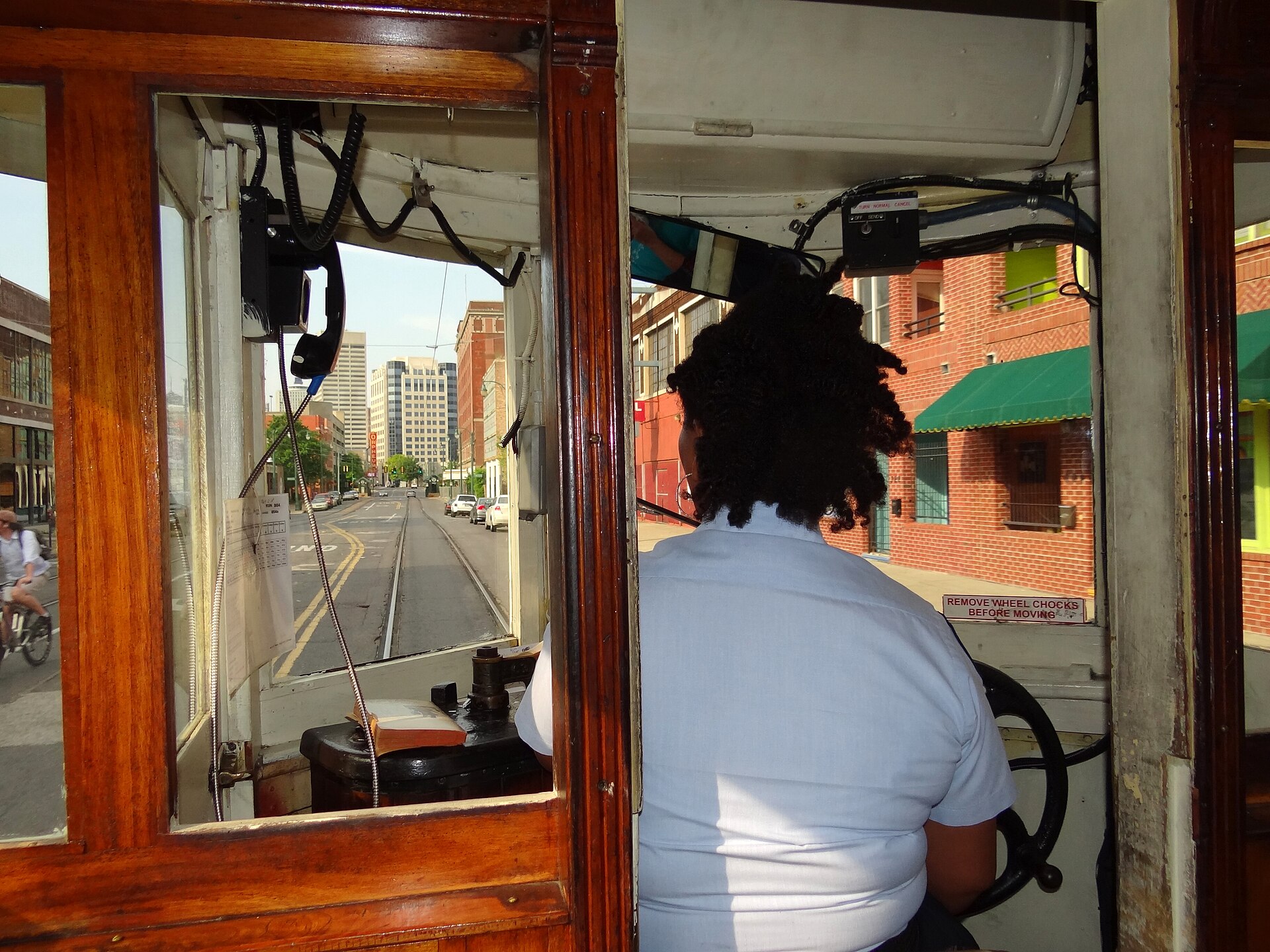
Downtown streets and the Main Street Trolley line run parallel to the riverfront a few blocks inland, giving anyone walking the loop an easy way to detour into downtown itself, or to start and end a riverfront walk somewhere other than a riverside parking lot. The boundaries of downtown proper, and how the riverfront sits within them, are set out in Access Memphis’s guide to Downtown Memphis and its boundaries.
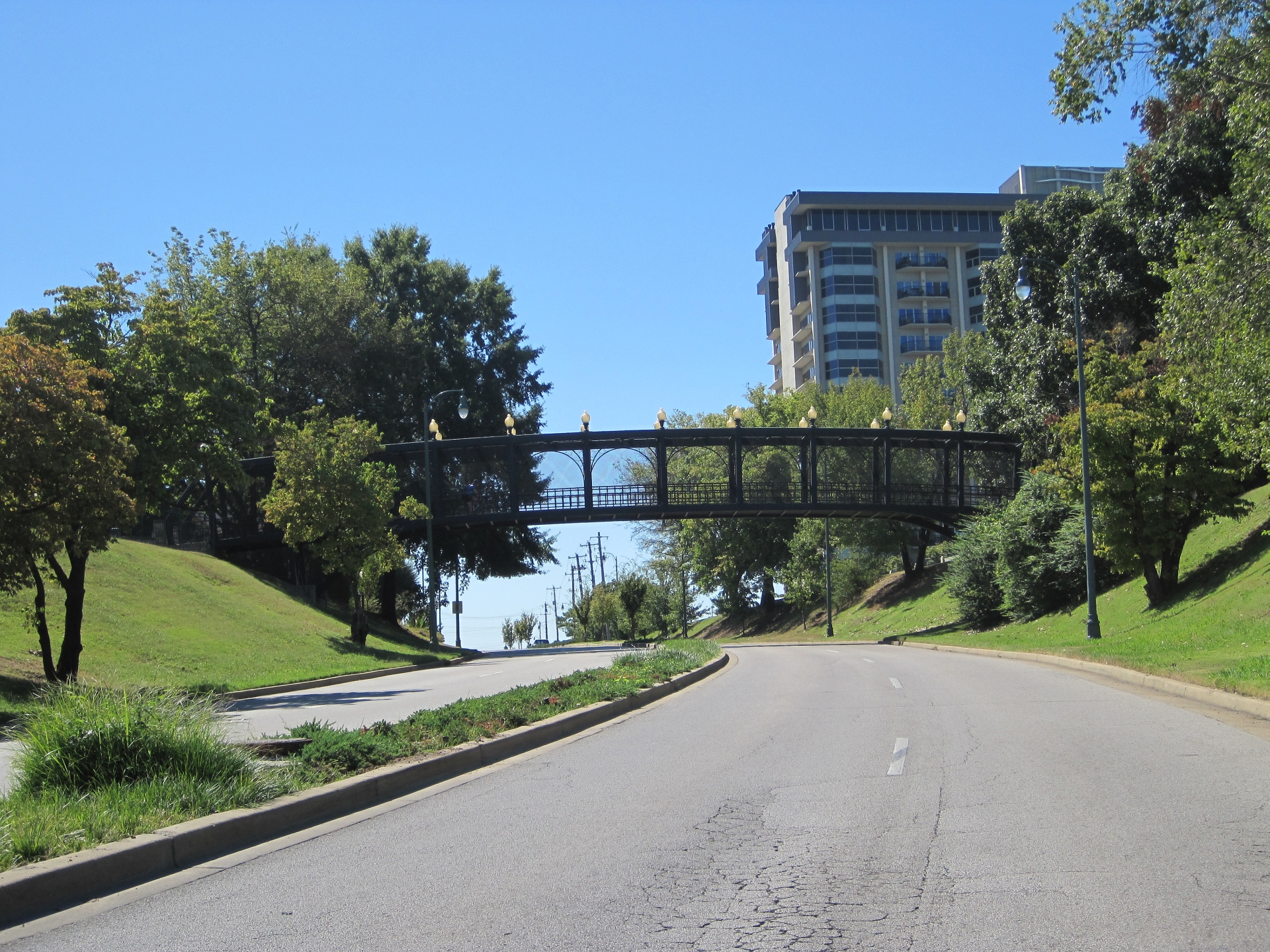
Riverside Drive, the road running along the bluff past several of these parks, is also worth knowing about on its own terms: it closes periodically for events, flooding and construction, a pattern covered in What Is Riverside Drive in Memphis, and Why Does It Keep Closing? Anyone planning to drive to a riverfront starting point rather than walk or cycle in should check that before setting out.
Does the Riverfront Close for Festivals?
Yes, in a recurring, predictable pattern rather than at random. The riverfront parks, including Tom Lee Park, are the traditional grounds for large annual events tied to Memphis’s spring festival calendar, and stretches of the loop — along with Riverside Drive itself — are routinely fenced off, rerouted or closed for setup and teardown around these dates each year. The exact dates shift annually and are set by the organizing bodies, so anyone planning a riverfront walk or ride in spring should confirm current closures with Memphis River Parks Partnership or the city before visiting, rather than relying on a fixed calendar.
What Should Someone Living in Memphis Know That a Visitor Doesn’t Need To?
For residents, the loop functions less as a single destination and more as year-round infrastructure — a place to run, cycle to work across the river, or walk a dog without dealing with downtown traffic. The Big River Crossing in particular gets used by Memphis and West Memphis commuters and recreational cyclists alike, not only as a novelty crossing.
The loop also connects, loosely, to the city’s other major trail investment, the Wolf River Greenway, which runs inland toward Shelby Farms rather than along the Mississippi itself — a separate system from the Shelby Farms Greenline, covered in What Is the Shelby Farms Greenline in Memphis, Explained. The two networks are not the same trail, and residents planning a longer ride should check current maps from Memphis River Parks Partnership and the Wolf River Conservancy rather than assume one continuous path.
Whether a car is needed to reach the loop at all depends on where in the city someone starts from; that broader question is addressed in Do You Need a Car in Memphis? An Honest Answer. For a fuller sense of how the riverfront fits into the city’s parks system generally, see the Parks & Riverfront section.
Access Memphis is an independent guide written from published, checkable sources. We have not visited the places described here and we do not publish personal recommendations or invented ‘local favourites’ — where something is singled out as notable, we say who says so. Opening times, fares, closures and prices change at short notice, so treat everything here as a starting point and confirm with the museum, operator or venue directly before building a day around it. We give no advice on visas, insurance, health or safety; use your own government’s official guidance for those.
Featured image: Photo by Adam Jones, Ph.D., source, CC BY-SA 3.0
