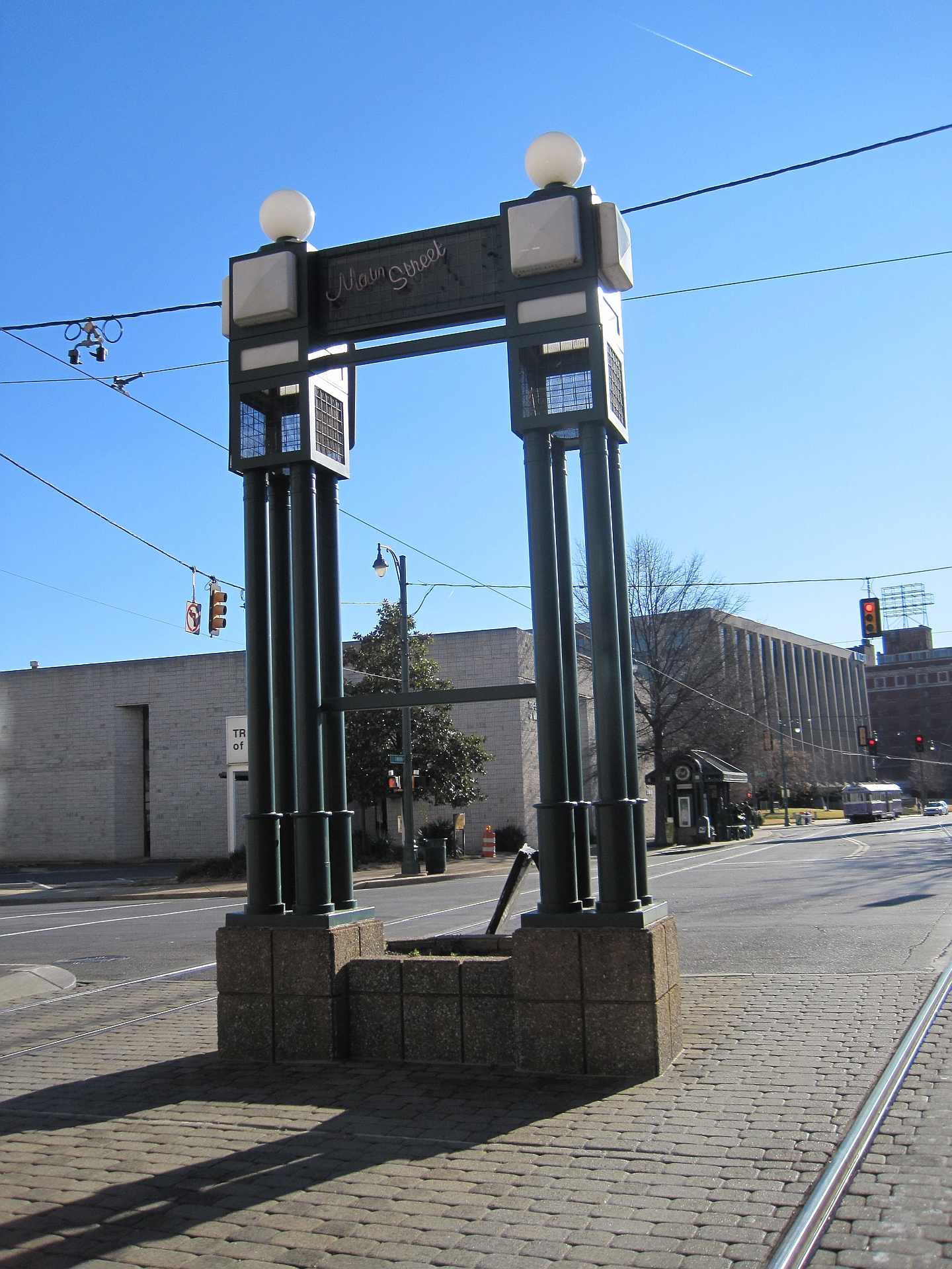
Downtown Memphis is the historic riverfront core of the city — the original street grid laid out above the Mississippi bluff, bounded roughly by the river to the west, a rail corridor and Danny Thomas Boulevard to the east, and running from around the Pyramid in the north to the medical district in the south. It is a managed, mapped district, not just a loose way of saying “near the middle.”
What actually counts as “Downtown Memphis”?
Downtown is the district managed by the Downtown Memphis Commission (DMC), the public body responsible for economic development, cleaning, safety patrols and marketing within a defined boundary. That is the closest thing Memphis has to an official answer: Downtown is wherever the DMC’s map says it is, and that map is published on the organisation’s own site.
In practice, that means Downtown is not simply “the tall buildings” or “wherever Beale Street is.” It is a specific area encompassing several named sub-districts — the Medical District, the Pinch District, South Main, and the core commercial blocks around Main Street and the Mississippi riverfront — each with its own character but all inside the same administrative boundary.
Where does Downtown begin and end?
The Mississippi River forms the fixed western edge; there is no ambiguity there. The other three sides are defined by infrastructure rather than by feel: a rail corridor and Danny Thomas Boulevard mark the general eastern limit, separating Downtown from the neighbourhoods that lead into Midtown, while the northern and southern edges follow the approach roads to the two interstate bridges and the university medical campus around the southern end of the district.
Because these edges are set by roads and rail lines rather than by a river or a wall, they are administrative rather than geological — Memphis has redrawn the exact boundary before, and readers who want the current line, block by block, should confirm it on the Downtown Memphis Commission’s own site rather than rely on a map from a guidebook or an old article.
How does Downtown relate to Midtown and the rest of the city?
Memphis residents use “Downtown” and “Midtown” as genuinely distinct terms, not synonyms for “central.” Downtown is the older, denser grid closest to the river, built up in the nineteenth century around the cotton trade and the bluff. Midtown is the collection of streetcar-era neighbourhoods — including Overton Square and Victorian Village — that grew up further east once the city expanded beyond its original footprint.
The distinction matters for anyone trying to get their bearings. A hotel or museum described as “Midtown” is a genuine drive or bus ride from Beale Street, not a short walk from it. The Neighbourhoods archive lays out how Memphis’s districts fit together beyond the river core.
What is inside the Downtown boundary?
Downtown contains most of the landmarks that appear on a first-time list of things to see in Memphis, along with the government and medical functions that keep the district active on weekdays when the visitor traffic thins out.
- The Beale Street Historic District, listed by the National Park Service, and the entertainment blocks around it — covered in detail at What Is Beale Street, and What Is Actually on It?
- The Lorraine Motel and the National Civil Rights Museum built around it, a site the National Park Service and the museum’s own materials treat as a place with a documented history rather than an attraction — see National Civil Rights Museum and the Lorraine Motel Explained
- The Shelby County Courthouse and the surrounding civic blocks, detailed at What Is the Shelby County Courthouse in Memphis?
- The Pyramid, now a retail store, on the riverfront at the district’s northern edge — see What Is the Memphis Pyramid, and Why Is Bass Pro There?
- Central Station, the restored rail depot that anchors the southern end of Downtown and connects it to Amtrak service — see What Is Central Station in Memphis, and What Runs From It?

How does the riverfront fit into Downtown?
The riverfront is Downtown’s western edge and also its most heavily reworked stretch of ground. The city’s own riverfront planning has reshaped the cobblestone landing, the bluff-top parks and the land at the foot of Beale Street over several redevelopment phases, most visibly around Tom Lee Park.
Tom Lee Park runs along the river at the base of Downtown and takes its name from a Memphis man who saved dozens of people from drowning in the Mississippi in 1925; its history and redesign are covered at What Is Tom Lee Park in Memphis, and Who Was Tom Lee? Further north, the Big River Crossing repurposes a historic rail bridge as a pedestrian and cycling link across the river to Arkansas, one of the few points where Downtown’s boundary is genuinely porous rather than fixed by a road.
Does Downtown include the bridges over the river?
The two road bridges that cross the Mississippi at Memphis — the Hernando de Soto Bridge, known locally as the M Bridge for its arched shape, and the older Memphis–Arkansas Bridge that now carries the Big River Crossing — both meet Downtown’s street grid on the Tennessee side. Their Memphis approaches are part of the district’s northern and southern river frontage; the far side of each bridge lands in Arkansas, outside the city and the DMC’s jurisdiction entirely. Details on the M Bridge are at The Hernando de Soto Bridge: Why Memphis Calls It the M Bridge.
How does a visitor actually get around inside Downtown?
Downtown’s grid is compact enough to walk in full within a day, which is part of why the boundary matters practically as well as administratively — most of what a first-time visitor plans to see sits inside it, within a reasonably short walk of Beale Street or the riverfront. The Getting Around and planning hub covers the transit options that link Downtown to the rest of the city, and the Getting Around archive has route-level detail on specific services. As with any transit information, fares, routes and schedules should be confirmed on the current operator’s own site rather than assumed from an older source.
Residents who live outside Downtown tend to treat it as a destination rather than a daily thoroughfare — a place for a ballgame at FedExForum, a show at the Orpheum, or a specific errand at the courthouse — rather than the automatic centre of gravity a visitor might expect. The Living in Memphis hub covers how Memphis’s neighbourhoods actually function day to day, Downtown included.
Why does the exact boundary keep coming up?
Boundaries matter in Memphis because Downtown is a working improvement district with its own funding, safety patrols and development incentives, not a purely descriptive label. Properties inside the line pay into and benefit from DMC programmes; those just outside do not, regardless of how “downtown” a building might look from the street.
That is also why the boundary has moved over the decades as the DMC and the city have annexed additional blocks — most notably extending southward to take in more of the medical district and eastward as new residential conversions pushed the edge of investment further from the river. Anyone researching a specific address or project should treat the DMC’s current published map as the authority, not a boundary described in an older article, including this one.
For a broader sense of how Downtown fits alongside Memphis’s museums, landmarks and other districts, the Memphis guide hub and the Landmarks & Sights archive set the district in context against the rest of the city.
Access Memphis is an independent guide written from published, checkable sources. We have not visited the places described here and we do not publish personal recommendations or invented ‘local favourites’ — where something is singled out as notable, we say who says so. Opening times, fares, closures and prices change at short notice, so treat everything here as a starting point and confirm with the museum, operator or venue directly before building a day around it. We give no advice on visas, insurance, health or safety; use your own government’s official guidance for those.
Featured image: Photo by Thomas R Machnitzki, source, CC BY 3.0
