Memphis is policed by the Memphis Police Department (MPD) inside city limits, the Shelby County Sheriff’s Office in unincorporated county areas and the county jail, and the Tennessee Highway Patrol on state routes. Crime figures come from MPD’s own releases, FBI reporting programs, and local newsrooms — not one single official scoreboard.
Who actually polices Memphis?
The Memphis Police Department is the primary law enforcement agency within the city, covering everything from Downtown and Midtown to Whitehaven and Frayser. The Shelby County Sheriff’s Office has jurisdiction over unincorporated parts of the county, operates the county jail, and provides law enforcement to some smaller municipalities under contract. Suburban cities inside the county — Germantown, Collierville, Bartlett, Arlington — run their own municipal police departments, distinct from MPD; the difference between Memphis and its suburbs is covered in more detail in what separates Memphis from Germantown and Collierville.
Other agencies overlap depending on location: the University of Memphis and other campuses maintain their own police forces, Tennessee Highway Patrol covers interstates and state highways, and federal agencies such as the FBI hold jurisdiction over specific categories of crime. A visitor is unlikely to interact with more than one of these, but the layering matters for understanding why “Memphis crime” figures sometimes mix city and county numbers without saying so.
How does the city report crime statistics?
MPD reports incident data to the FBI, which now largely uses the National Incident-Based Reporting System (NIBRS) rather than the older summary-based Uniform Crime Report. The FBI’s own Crime Data Explorer publishes agency-level figures as departments submit them, and it is the most direct way to see what MPD has reported in a given year without relying on a secondhand summary.
Locally, the Memphis Shelby Crime Commission — a nonprofit that tracks crime trends and policy for the region — publishes its own analysis and dashboards at memphiscrime.org, distinct from MPD’s own releases. MPD itself maintains public information through its official site, and readers who want a number for a specific year should go to one of these sources directly rather than to a repeated figure in an article, including this one. A statistic without a year attached is one of the fastest ways a city gets misdescribed, and Memphis is written about carelessly on this point more than most.
Why does Memphis show up so often in national crime rankings?
National “most dangerous city” lists that circulate online typically compile FBI-reported violent crime rates per capita across metro areas, and Memphis has appeared near the top of several of these compilations in various years, compiled by outlets such as data firms and news organizations rather than by any single authoritative body. These lists use different methodologies, different geographic boundaries (city versus metro), and different years, which is exactly why Access Memphis does not repeat a specific rank here — the number a reader finds today will not match what was true two years ago, and the source matters as much as the figure.
What is durable is the pattern: Memphis is a majority-Black, working-class city with a documented and persistent poverty rate, and poverty, crime, and school funding are connected in ways researchers at institutions like the University of Memphis have studied directly. That relationship belongs in a fuller discussion of living in Memphis rather than in a single paragraph, and any figure cited there should carry its own source and year.
How does this connect to the city’s civil rights history?
Memphis policing has a specific, documented role in the events of 1968. The Memphis sanitation workers’ strike began after the deaths of two city sanitation employees, and the strike drew Dr. Martin Luther King Jr. to the city, where he delivered his final speech at Mason Temple. He was assassinated at the Lorraine Motel, now the site of the National Civil Rights Museum, which documents the strike, the assassination, and the broader civil rights movement through its own exhibits and archive. Clayborn Temple, a standing building tied directly to the strike’s organizing, is discussed in more detail at what happened at Clayborn Temple in 1968, and Mason Temple’s role in the final speech is covered at what the Mountaintop speech was and where it was given.
This history is not incidental to a question about policing today. It is why Memphis’s relationship with law enforcement is written about, studied, and discussed locally with more weight than in many other cities, and why the museum and the Park Service materials tied to these sites treat them as historical record rather than as backdrop.
What should a visitor do with any of this?
Access Memphis does not rate neighborhoods as safe or unsafe, and does not offer safety advice — that is a judgment for the reader, made with current, official information. Visitors should consult their own government’s official travel guidance for the United States, which is updated regularly and written by people whose job is precisely that assessment. What can be said plainly is that Downtown, Beale Street, the Medical District, and the main museum and entertainment corridors are the areas most visitors spend time in, and general orientation to those areas is covered in the explanation of Downtown Memphis’s boundaries and the broader Memphis guide.
Practical day-to-day matters — where to park, how driving works, how to move between neighborhoods — are covered separately and are worth reading regardless of any crime statistic: what to know about driving in Memphis and how parking works Downtown both address the ordinary friction of getting around rather than risk assessment.
How do residents actually track policing and crime locally?
Long-term residents rely on a different mix of sources than a one-time visitor would. Local television newsrooms — including WMC Action News 5 and FOX13 Memphis — and the Daily Memphian and Commercial Appeal cover crime and policing as a beat, with named reporters and a paper trail that can be checked against MPD’s own releases. Neighborhood and precinct-level reporting is more useful to a resident than a citywide figure, because Memphis’s neighborhoods vary enormously — a fact covered across the site’s neighbourhoods coverage, from Cooper-Young to Orange Mound to East Memphis.
MPD organizes patrol by precinct, and the Memphis Shelby Crime Commission’s public dashboards allow filtering by geography and crime type rather than a single city-wide average, which is generally the more honest way to read the data. Residents weighing a move within the city are better served by that kind of local detail than by any national ranking, and the broader picture of what daily life looks like here — cost, schools, transit, seasons — is laid out in the Living in Memphis archive.
Where can someone check current, official information directly?
For the most current figures and official statements, the primary sources are the Memphis Police Department’s own site, the Shelby County Sheriff’s Office site, the FBI’s Crime Data Explorer, and the Memphis Shelby Crime Commission. Each publishes data or statements under its own name, dated, and updated on its own schedule — which is the only way a figure on crime or policing in Memphis should be trusted, here or anywhere else. General planning for a Memphis trip, including how the city’s calendar and practicalities fit together, is covered in the Memphis practical guide.
Access Memphis is an independent guide written from published, checkable sources. We have not visited the places described here and we do not publish personal recommendations or invented ‘local favourites’ — where something is singled out as notable, we say who says so. Opening times, fares, closures and prices change at short notice, so treat everything here as a starting point and confirm with the museum, operator or venue directly before building a day around it. We give no advice on visas, insurance, health or safety; use your own government’s official guidance for those.
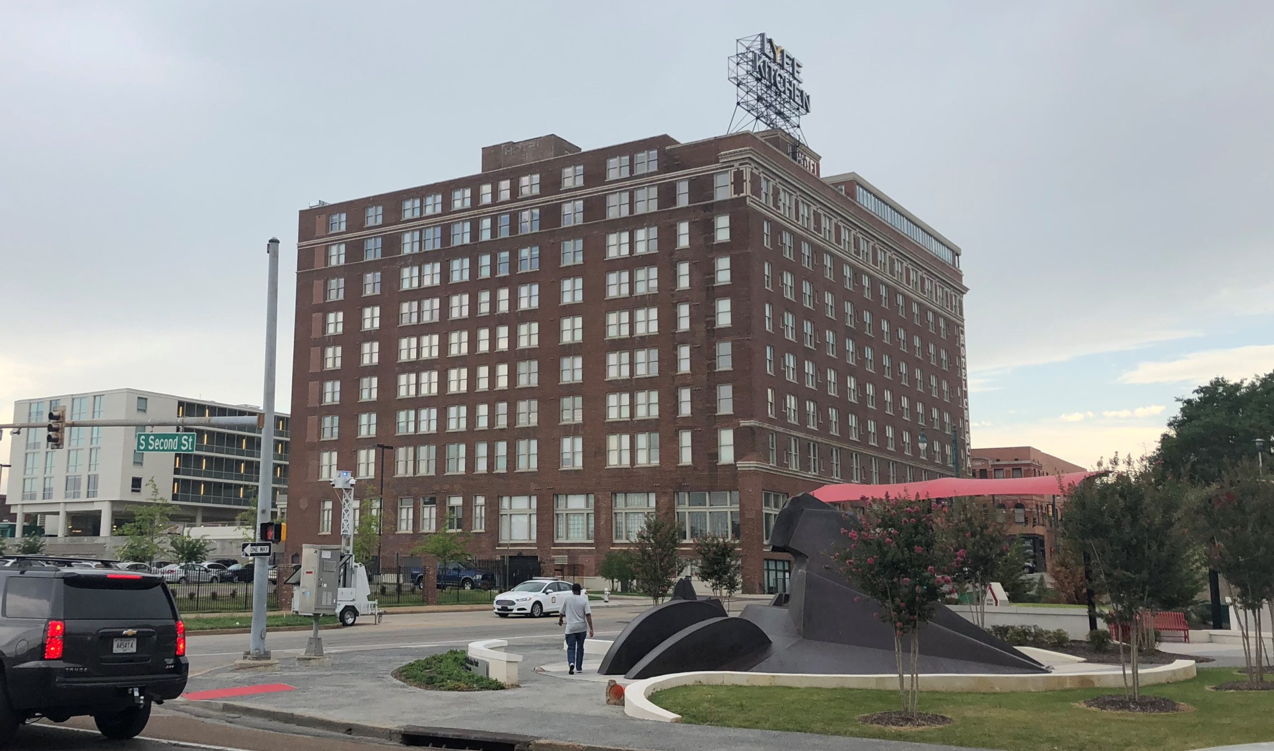
Featured image: Photo by Bjoertvedt, source, BY-SA