Two interstate bridges carry cars across the Mississippi River at Memphis — the Hernando de Soto Bridge (I-40) and the Memphis & Arkansas Memorial Bridge (I-55) — and a third, older bridge carries a dedicated walking and cycling path called the Big River Crossing. There is no scheduled transit line into Arkansas. Across the water is West Memphis, Arkansas, where the flat Delta begins.
How many bridges actually cross the river at Memphis?
Four bridges span the Mississippi at Memphis, but they serve different purposes. Two are freight railroad bridges — the Frisco Bridge, built in 1892, and the Harahan Bridge, built in 1916 — that were never designed for general public crossing on foot. Two carry road traffic: the Hernando de Soto Bridge, opened in 1973 and carrying Interstate 40, and the Memphis & Arkansas Memorial Bridge, opened in 1949 and carrying Interstate 55. The Tennessee Department of Transportation and its Arkansas counterpart maintain these road crossings jointly, since the state line runs down the middle of the river.
The Harahan Bridge has a second life. Its outer trusses, once used for automobile lanes before the newer highway bridges existed, now carry a purpose-built pedestrian and bicycle deck known as the Big River Crossing. That is the only way to cross the Mississippi at Memphis without a vehicle.
What is the Hernando de Soto Bridge, and why do people call it the M Bridge?
The Hernando de Soto Bridge is Memphis’s newer river crossing, carrying I-40 in a pair of steel through-arch spans that, seen head-on, form the shape of a letter M — the reason Memphians call it the M Bridge rather than by its formal name. It is lit at night and functions as the visual signature of the downtown riverfront. In 2021 it was closed for an extended period after inspectors found a structural crack in one of the arch spans, an event covered at the time by the Tennessee Department of Transportation and national news outlets; the closure also halted barge traffic on the river beneath it while the fracture was assessed and repaired. The full account of the bridge’s design and that 2021 closure is set out on Access Memphis’s page on the Hernando de Soto Bridge.
Can you walk or bike across the river?
Yes, on the Big River Crossing, a dedicated deck built onto the historic Harahan Bridge specifically for pedestrians and cyclists, separate from the active rail lines it shares the structure with. Big River Crossing’s own site describes the path as connecting downtown Memphis’s South Main district to West Memphis, Arkansas, and promotes it as one of the longest such purpose-built pedestrian pathways across the Mississippi River — a claim that belongs to the operator’s own promotional material rather than to any independent register, and is worth treating as such. The walk starts near the South Main Arts District and ends on the Arkansas bank, with no toll and no vehicle traffic on the shared deck.
The crossing is lit at night with a changing light installation, and it is used by both recreational cyclists and by the Mississippi River Trail, a long-distance biking route that runs the length of the river. A full account of what the crossing is and how the walk works is on Access Memphis’s Big River Crossing page.
.jpg)
Is there a bus or train that crosses into Arkansas?
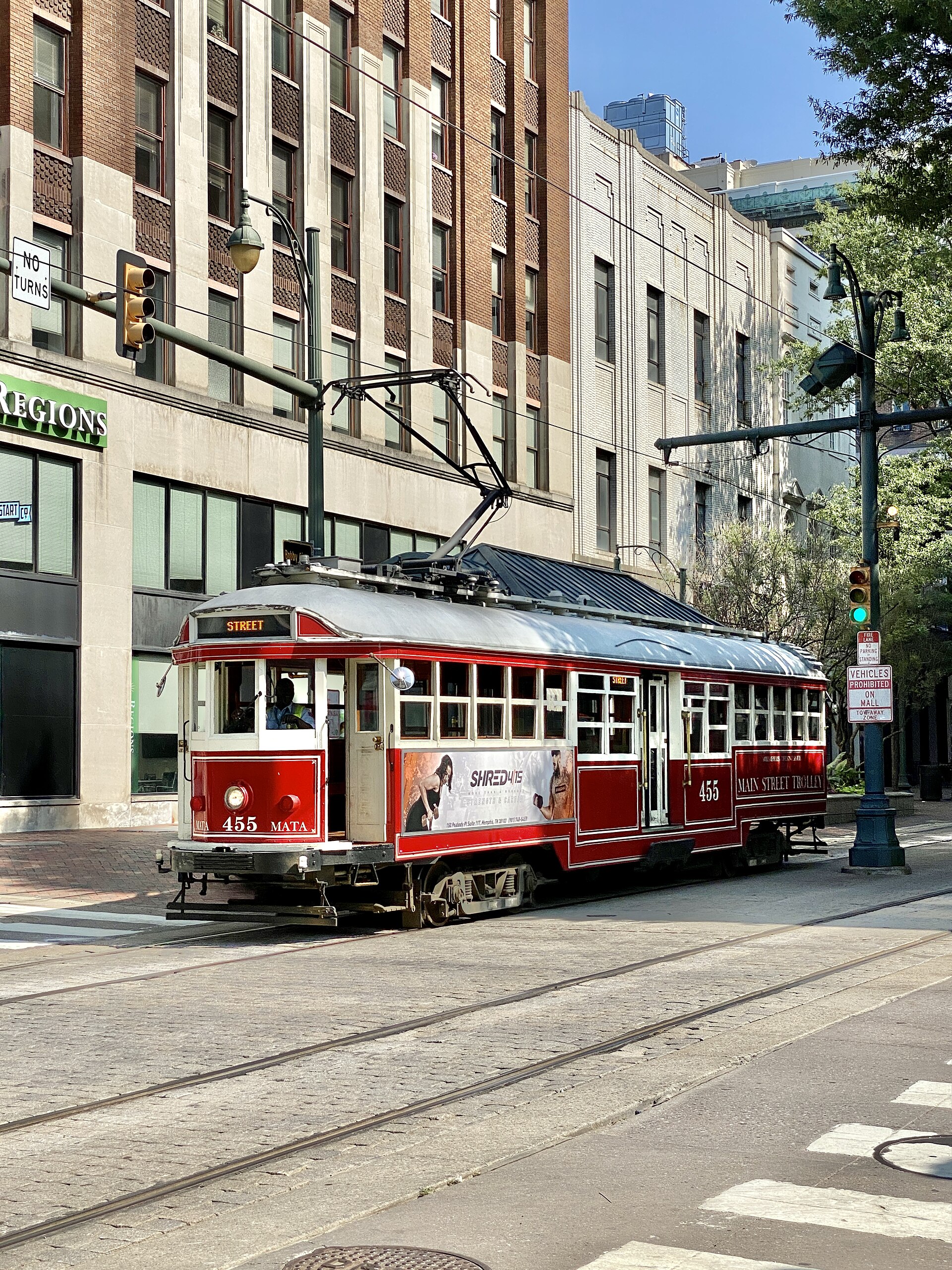
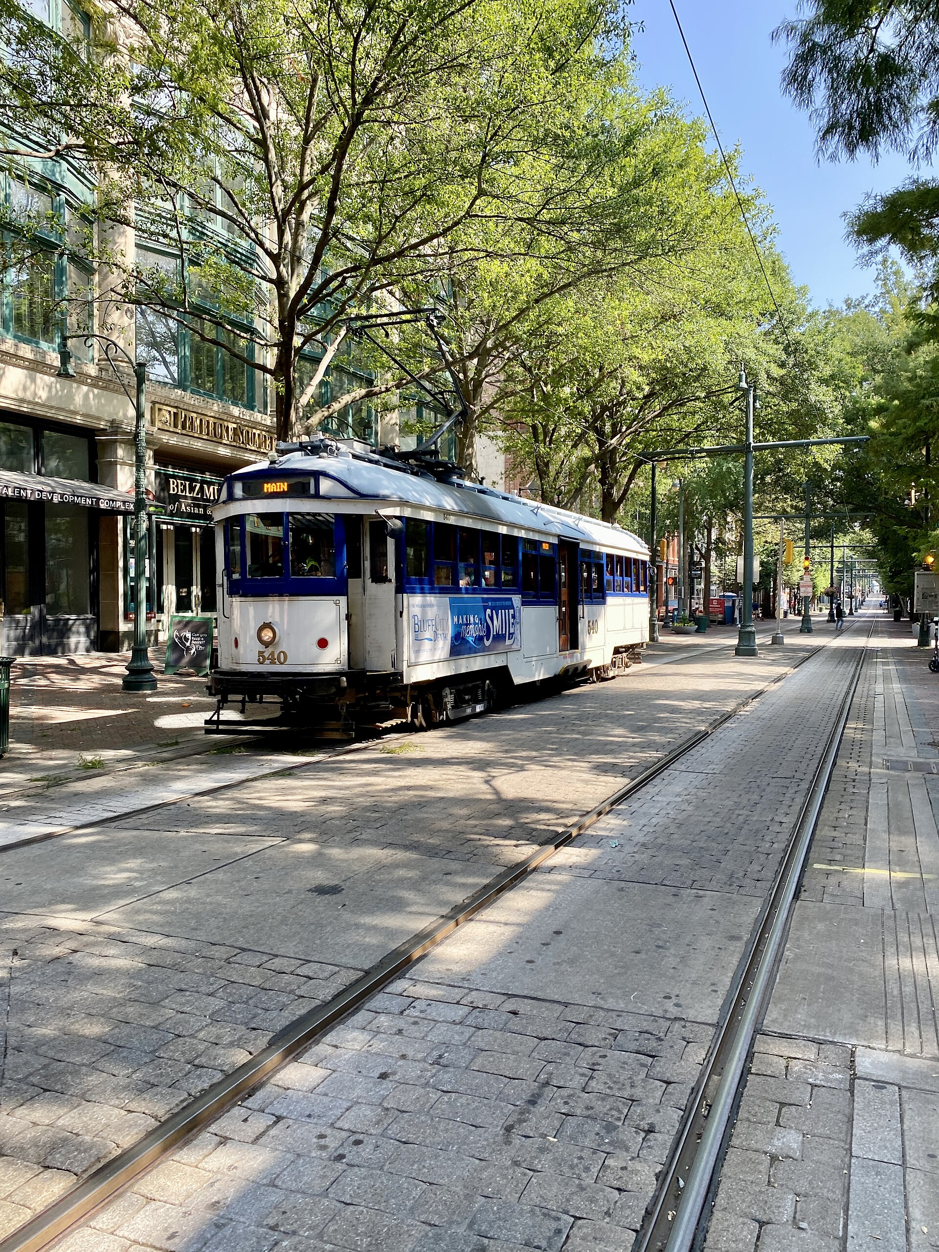
No fixed public transit route runs across the river from Memphis. MATA, the Memphis Area Transit Authority, operates the city’s bus network and the downtown trolley, and its published route maps do not extend service across the state line. Anyone crossing without a car is doing it on foot or by bicycle on the Big River Crossing, or as a passenger in a private vehicle on one of the two interstate bridges. General context on how the city’s own transit system is structured is covered on Access Memphis’s guide to MATA, and the wider question of whether a car is necessary at all is addressed on the site’s Getting Around archive.
What is actually on the Arkansas side?
The Arkansas bank directly opposite downtown Memphis is West Memphis, a city in Crittenden County. It is not a suburb built to mirror Memphis’s grid; it is a separate small city with its own municipal government, and it reads as flat, low-rise and industrial where downtown Memphis is dense and built up on a bluff. The U.S. Census Bureau’s Memphis metropolitan statistical area definition includes Crittenden County, Arkansas, which means West Memphis is counted as part of the greater Memphis metro area for federal statistical purposes even though it sits across a state line and a river.
The most visible landmark on the Arkansas side is Southland Casino Racing, a licensed gaming and racing venue regulated by the Arkansas Racing Commission. Southland’s own site describes the property as combining a casino floor with a greyhound racing history and, more recently, a hotel and events complex; it is the property most Memphians would name if asked what is on the other side of the bridge.
Beyond West Memphis itself, the land changes character almost immediately. Memphis sits on the Chickasaw Bluff, a ridge of high ground overlooking the river; Arkansas, on the opposite bank, is the start of the low, flat alluvial floodplain of the Mississippi Delta. Levees built and maintained by the U.S. Army Corps of Engineers run along the Arkansas bank to hold back seasonal high water, and the land immediately behind them is given over largely to farmland rather than urban development. It is a genuinely different landscape within a few minutes of crossing, which is part of why the view from either bridge, or from the Big River Crossing deck itself, reads as a hard edge rather than a gradual transition.
Why does Memphis sit where it does relative to the river?
Memphis was founded on the fourth Chickasaw Bluff specifically because it was one of the few points along this stretch of the lower Mississippi where high ground meets the river directly, giving it a natural landing free of the flooding that shaped the opposite Arkansas shore. That geographic accident is why the city’s downtown core, including Tom Lee Park along the riverfront, sits well above the water while the Arkansas side remains low, levee-protected agricultural land. It also explains why every road crossing of the river at Memphis has to climb from the bluff before descending again on the far bank — a structural fact of the two highway bridges’ design, not an incidental detail.
Does crossing the river matter to anyone who actually lives here?
For residents, the practical reason to cross is usually work, family, or Southland Casino Racing rather than sightseeing; a meaningful number of West Memphis and Crittenden County residents commute into Memphis for employment, and the reverse also happens. For a Memphis resident without a car, the Big River Crossing is one of the few genuinely long-distance walking or cycling routes leaving the city, and it connects into the broader riverfront path network described on Access Memphis’s Parks & Riverfront pages.
For a visitor, the honest answer is that there is little reason to cross the river unless the destination is specifically Southland Casino Racing, the Big River Crossing walk itself for the river view it offers, or the Mississippi River Trail as a cycling route. The wider question of what a first-time visit to Memphis should actually prioritise, including how the riverfront fits into a realistic plan, is covered on the site’s Memphis Practical hub.
Access Memphis is an independent guide written from published, checkable sources. We have not visited the places described here and we do not publish personal recommendations or invented ‘local favourites’ — where something is singled out as notable, we say who says so. Opening times, fares, closures and prices change at short notice, so treat everything here as a starting point and confirm with the museum, operator or venue directly before building a day around it. We give no advice on visas, insurance, health or safety; use your own government’s official guidance for those.
Featured image: Photo by Warren LeMay from Chicago, IL, United States, source, CC BY-SA 2.0
.jpg)