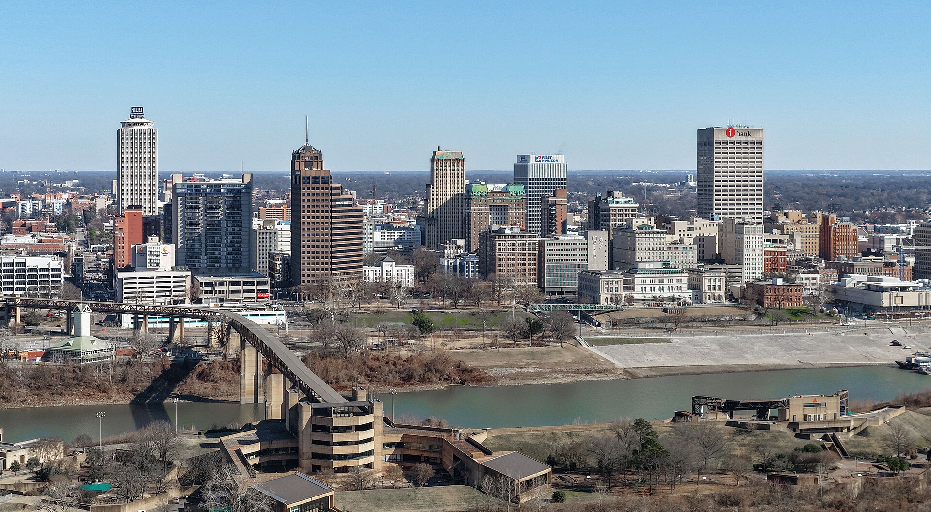
Memphis has a genuine tornado season, running roughly from late winter into early summer, with a secondary risk window in autumn. The National Weather Service forecast office that covers the city, based in Memphis and known as NWS Memphis (weather.gov/meg), issues watches and warnings for Shelby County the same way it does for the rest of the mid-South.
When does severe weather actually happen here?
The National Weather Service’s climate data for the Memphis area shows two active periods: a primary one from roughly March through May, and a smaller secondary risk in November. Tornadoes and damaging thunderstorm winds are possible outside those months, but the spring window is when watches and warnings are most frequent.
This sits alongside the rest of the region’s weather pattern. Summers bring heat and afternoon thunderstorms rather than organized tornado outbreaks, a pattern covered in What Is a Memphis Summer Actually Like?. Winters occasionally bring ice rather than snow, discussed in What Is a Memphis Winter Like, and Does It Snow?. Anyone weighing when to schedule a trip against weather risk should read When Is the Best Time of Year to Visit Memphis?, which lays out the seasonal trade-offs directly.
Why is Memphis exposed to tornadoes at all?
Memphis lies at the western edge of Tennessee, near the Mississippi River, in a zone where warm, moist air moving north from the Gulf of Mexico regularly collides with drier air pushing east from the Plains. The Storm Prediction Center, part of the National Weather Service, maps this collision zone across the mid-South and lower Mississippi Valley as an area of elevated severe thunderstorm and tornado risk relative to much of the country. Shelby County, which contains Memphis, falls inside that mapped zone.
How does a warning actually reach you here?
Warnings are issued by NWS Memphis and distributed through the same national systems used everywhere in the United States: Wireless Emergency Alerts pushed to mobile phones in the warned area, NOAA Weather Radio, and broadcast interrupts on local television and radio. The Shelby County Office of Preparedness and Homeland Security also coordinates local outdoor warning sirens, which are intended for people outdoors and are not designed to be heard reliably indoors.
- A watch means conditions are favorable for severe weather across a broad area — it is a planning alert, not a call to shelter.
- A warning means a storm has been detected, by radar or spotters, producing or capable of producing a tornado, damaging wind, or large hail in a specific, smaller area — it calls for immediate action.
The National Weather Service’s own glossary and public guidance explain both terms in detail, and the agency’s Memphis office posts current watches and warnings for Shelby County directly on its site.

What does this mean for a visitor with a fixed itinerary?
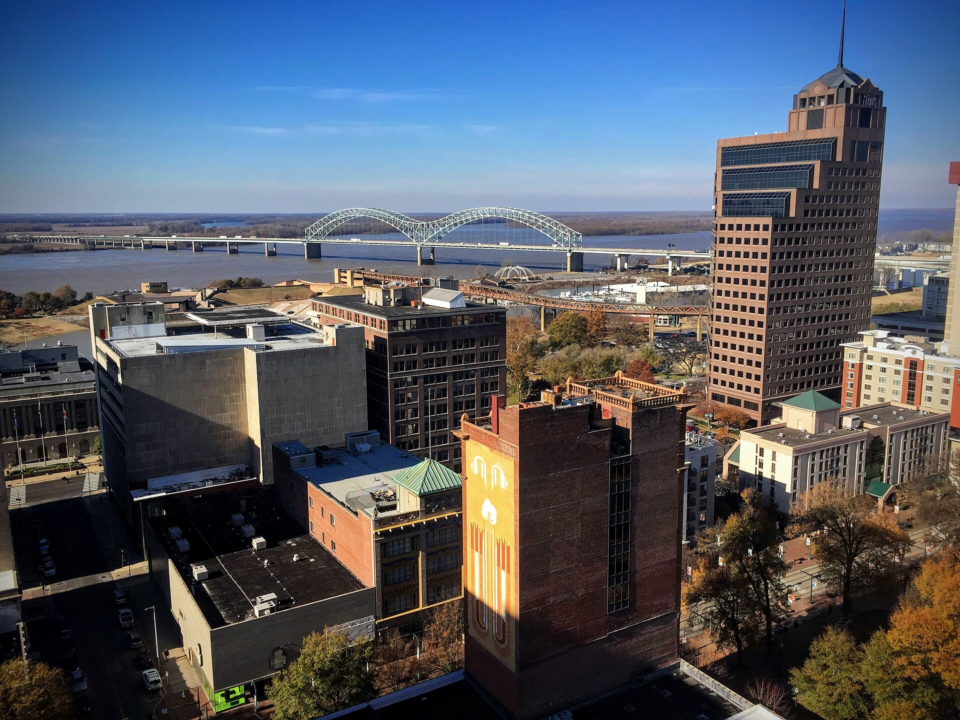
Severe weather in Memphis is usually short-lived — a line of storms passing through over an hour or two, rather than a multi-day system. It can still disrupt a day’s plans: outdoor riverfront programming, walking routes through districts like downtown, or a session along the Memphis Riverfront Loop may be paused or rerouted during an active warning. Museums and indoor attractions generally continue operating but may adjust based on the storm’s timing; checking a venue’s own site or social media on a day with an active watch is the reliable way to confirm status, since this site does not track daily conditions.
Heavy rain associated with these systems can also affect Riverside Drive, which the city has closed at times for flooding and repair work unrelated to any single storm. Anyone driving into or around downtown during a stormy stretch should read What Should You Know About Driving in Memphis? for how the road network behaves under pressure.
What should a resident actually do about it?
The Tennessee Emergency Management Agency (TEMA) and the National Weather Service both publish standard guidance for residents in tornado-prone regions, and it does not differ for Memphis specifically: know the difference between a watch and a warning, identify the sturdiest part of a home or workplace in advance — an interior room on the lowest floor, away from windows — and have a way to receive alerts that does not depend solely on hearing an outdoor siren. TEMA’s own site and the National Weather Service’s ready.gov tornado safety pages lay out this guidance in full, and readers relocating to or living long-term in Memphis are better served reading those primary sources than a summary here.
This is part of the practical texture of living in the city rather than an occasional inconvenience. Spring storm coverage is a fixture of local news broadcasts, and school systems and workplaces across Shelby County run their own drills. Broader context on what daily life in Memphis involves, weather included, sits in Living in Memphis.
Does severe weather affect the Mississippi River itself?
Tornado-producing storms are a separate hazard from river flooding, though the two can arrive in the same weather system. The Mississippi River’s level at Memphis is tracked by the National Weather Service’s river forecast centers and is a slower-moving concern tied to rainfall across the whole watershed, not just local storms. Sustained high water can affect river-adjacent spaces such as Tom Lee Park and river crossings; how the city’s bridges and the Big River Crossing relate to the river’s edge is covered in the site’s landmarks coverage under Parks & Riverfront.
Where should you check before and during a trip?
For anything time-sensitive, the primary sources are the right ones to use directly rather than through a secondhand summary:
- The National Weather Service’s Memphis forecast office (weather.gov/meg) for active watches, warnings, and forecasts specific to Shelby County.
- The Tennessee Emergency Management Agency for statewide preparedness guidance and current declarations.
- A traveler’s own government’s official travel advisory pages for any broader guidance on visiting the United States, which is outside the scope of what this site covers.
General orientation on how the city fits together the rest of the year — neighborhoods, transport, and what to plan around — is covered across Memphis Guide and Memphis Practical, both of which treat weather as one variable among several rather than the whole story.
Access Memphis is an independent guide written from published, checkable sources. We have not visited the places described here and we do not publish personal recommendations or invented ‘local favourites’ — where something is singled out as notable, we say who says so. Opening times, fares, closures and prices change at short notice, so treat everything here as a starting point and confirm with the museum, operator or venue directly before building a day around it. We give no advice on visas, insurance, health or safety; use your own government’s official guidance for those.
Featured image: Photo by Quintin Soloviev, source, CC BY 4.0
.jpg)