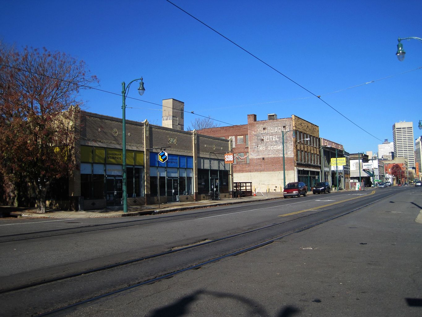
Yes, for most practical purposes. Memphis has a public bus network and a Downtown trolley, both run by the Memphis Area Transit Authority (MATA), but the metro area is built for driving: neighborhoods, museums and daily errands are spread across Shelby County at distances that transit was not designed to close quickly. A visitor staying Downtown can manage several days without one. A resident almost certainly cannot.
How spread out is Memphis, actually?
Memphis sits on a bluff above the Mississippi River, and the city grew outward from that river edge over nearly two centuries, annexing suburbs as it expanded east. The result, documented in the city’s own planning materials and visible on any map, is a metro area with distinct districts — Downtown, Midtown, East Memphis, Whitehaven, Frayser — that function almost like separate towns connected by interstates and arterial roads rather than a single dense grid. The distances involved are civic, not cosmetic: a resident in East Memphis and a resident in Uptown live routine, unrelated lives.
For a fuller picture of how those districts relate to each other, the neighborhoods archive and the explainer on Downtown’s own boundaries lay out where one area ends and the next begins.
What does MATA’s bus network actually cover?
MATA operates local bus routes across the city, along with the Downtown trolley, and its own site is the correct place to check current routes, fares and schedules, since these change and should not be treated as fixed. As a shape rather than a timetable: the network is denser near Downtown and Midtown and thins out toward the suburbs, which is typical of mid-sized Southern transit systems built primarily around a commuter core rather than an even citywide grid.
The practical consequence is that bus service is genuinely useful for short, specific trips within the urban core, and far less useful for a full day of moving between distant neighborhoods on a schedule.
Is Downtown Memphis walkable on its own?
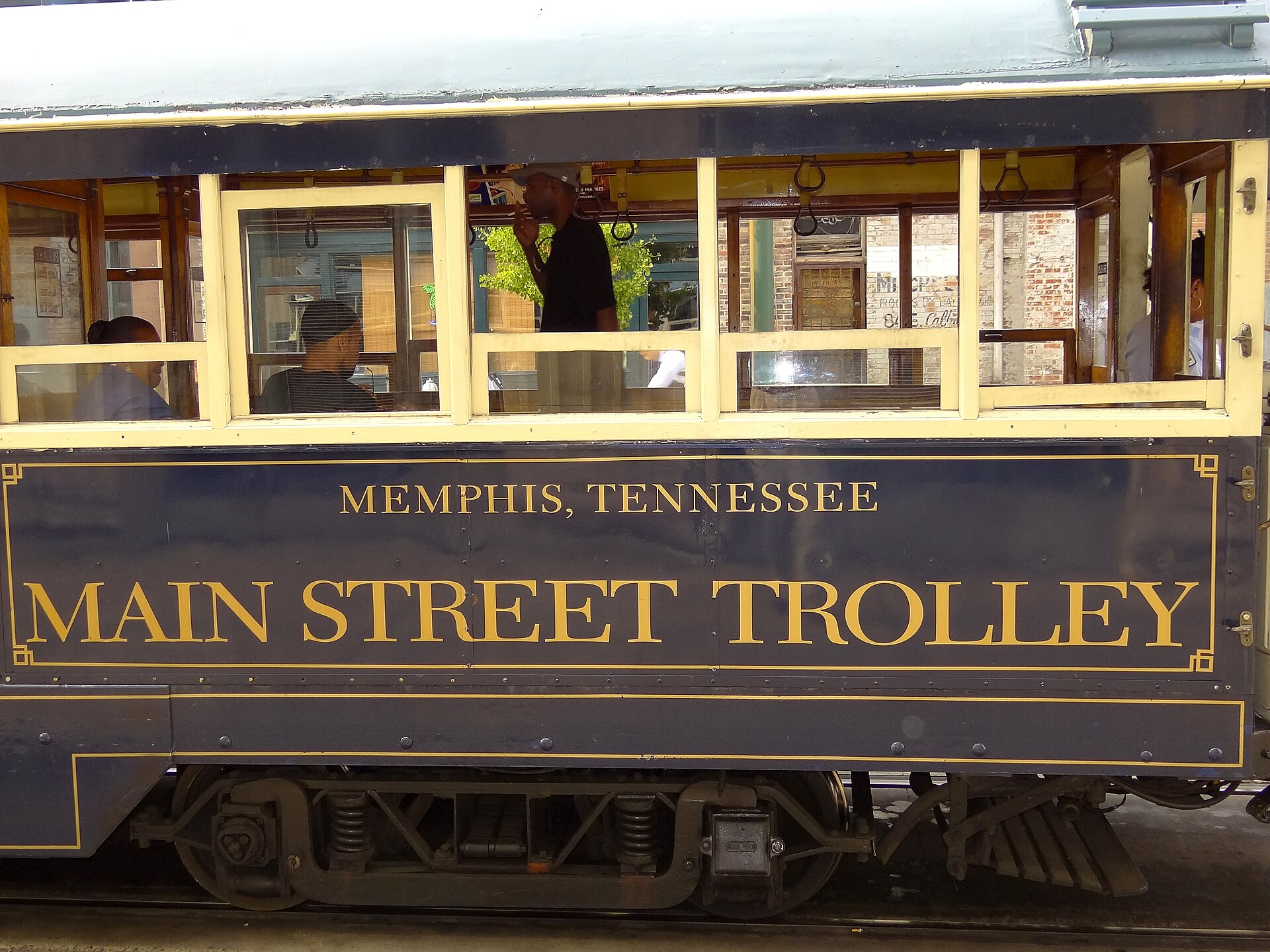
Largely, yes. Downtown is compact enough to cover much of it on foot, which is why several major sites cluster within a short walk of each other: the Mississippi riverfront, Beale Street, the Orpheum Theatre, the Cotton Museum at the old Cotton Exchange, and the National Civil Rights Museum, built around the former Lorraine Motel where Dr. King was killed in 1968. MATA’s Main Street Trolley runs the length of this corridor, per MATA’s own route information, which extends the walkable radius without requiring a car.
The explainer on Downtown’s boundaries sets out exactly where this district starts and stops, which matters because “Downtown” and “Midtown” are frequently confused by people who have not lived here.

What about Midtown, Cooper-Young and the neighborhoods just outside Downtown?
Midtown is a separate, walkable district in its own right — the site’s explainer on Midtown describes it as the part of Memphis many residents consider the city’s actual center of gravity, distinct from the Downtown tourist core. Cooper-Young, one of Midtown’s historic commercial districts, is similarly built for pedestrians once you’re in it.
The catch is the gap between these districts and Downtown. It is a drivable few miles, and MATA bus routes connect them, but it is not a stroll, and travel between Downtown, Midtown and further-out areas like East Memphis is where a car — or a rideshare trip — becomes the realistic option rather than a choice.
Can you get to Graceland without a car?
Graceland sits in Whitehaven, several miles south of Downtown along Elvis Presley Boulevard, closer to Memphis International Airport than to the Downtown core. MATA runs bus routes along that corridor, per its own published route information, and Graceland’s own site details shuttle and transport options tied to its visitor operations. Anyone confirming a same-day trip should check both MATA’s current schedule and Graceland’s own transportation information directly, since neither is fixed.
The explainer on Whitehaven covers what the neighborhood is beyond Graceland itself, which is worth reading before assuming the area is a single attraction rather than a residential district with its own history.
What about the train and the airport?
Central Station, on the south edge of Downtown, is the city’s rail hub — the site’s explainer on Central Station covers what runs from it and what the building itself now is, since it has been redeveloped alongside its transit function. Memphis International Airport sits south of the city, well outside Downtown, and is reached by road; there is no rail link, and airport transportation should be checked against the airport’s own current information rather than assumed.
Are there other ways to get around besides a car?
A few options fill in the gaps between walking and driving:
- The Main Street Trolley, run by MATA, along the Downtown corridor.
- MATA’s local bus network, denser near the urban core.
- Rideshare services, which operate in Memphis as in most U.S. cities.
- Bicycle infrastructure and a bike-share network concentrated in Downtown and Midtown, though coverage is uneven citywide.
- The Big River Crossing, a pedestrian and cycling path across the Mississippi — covered in detail here — which is a genuine way to move on foot between Memphis and West Memphis, Arkansas, though it is a crossing, not a general transit route.
So do residents actually need a car?
Almost universally, yes. Grocery stores, workplaces, schools and medical facilities in Memphis are distributed across a metro area built around road access, and the bus network — while real and used daily by thousands of residents — was not designed to substitute for a car across that full footprint. This is a documented pattern in how Southern car-dependent metros like Memphis have grown since the mid-20th century, not a judgment on any individual neighborhood. Anyone relocating to the city should treat car access as a practical planning question early, alongside choosing a neighborhood — the Living in Memphis hub is the better starting point for that kind of decision than a single article on transit.
What should a visitor actually plan for?
A visitor staying Downtown, focused on the riverfront, Beale Street, the National Civil Rights Museum and the immediate corridor the trolley serves, can reasonably skip a rental car for a short stay. A visitor also planning to see Graceland, Stax, the Memphis Zoo, or spend time in Midtown and East Memphis in the same trip should plan for driving, rideshare, or a combination of both, and check MATA’s own site directly for current routes before assuming bus service will close the gap on a tight schedule.
For the fuller mechanics of getting around — fares, the trolley’s operating pattern, and how the city’s districts connect — the Getting Around archive and the Memphis Practical hub cover the rest of what a trip actually requires beyond the car question itself.
Access Memphis is an independent guide written from published, checkable sources. We have not visited the places described here and we do not publish personal recommendations or invented ‘local favourites’ — where something is singled out as notable, we say who says so. Opening times, fares, closures and prices change at short notice, so treat everything here as a starting point and confirm with the museum, operator or venue directly before building a day around it. We give no advice on visas, insurance, health or safety; use your own government’s official guidance for those.
Featured image: Photo by Thomas R Machnitzki (thomasmachnitzki.com), source, CC BY 3.0
