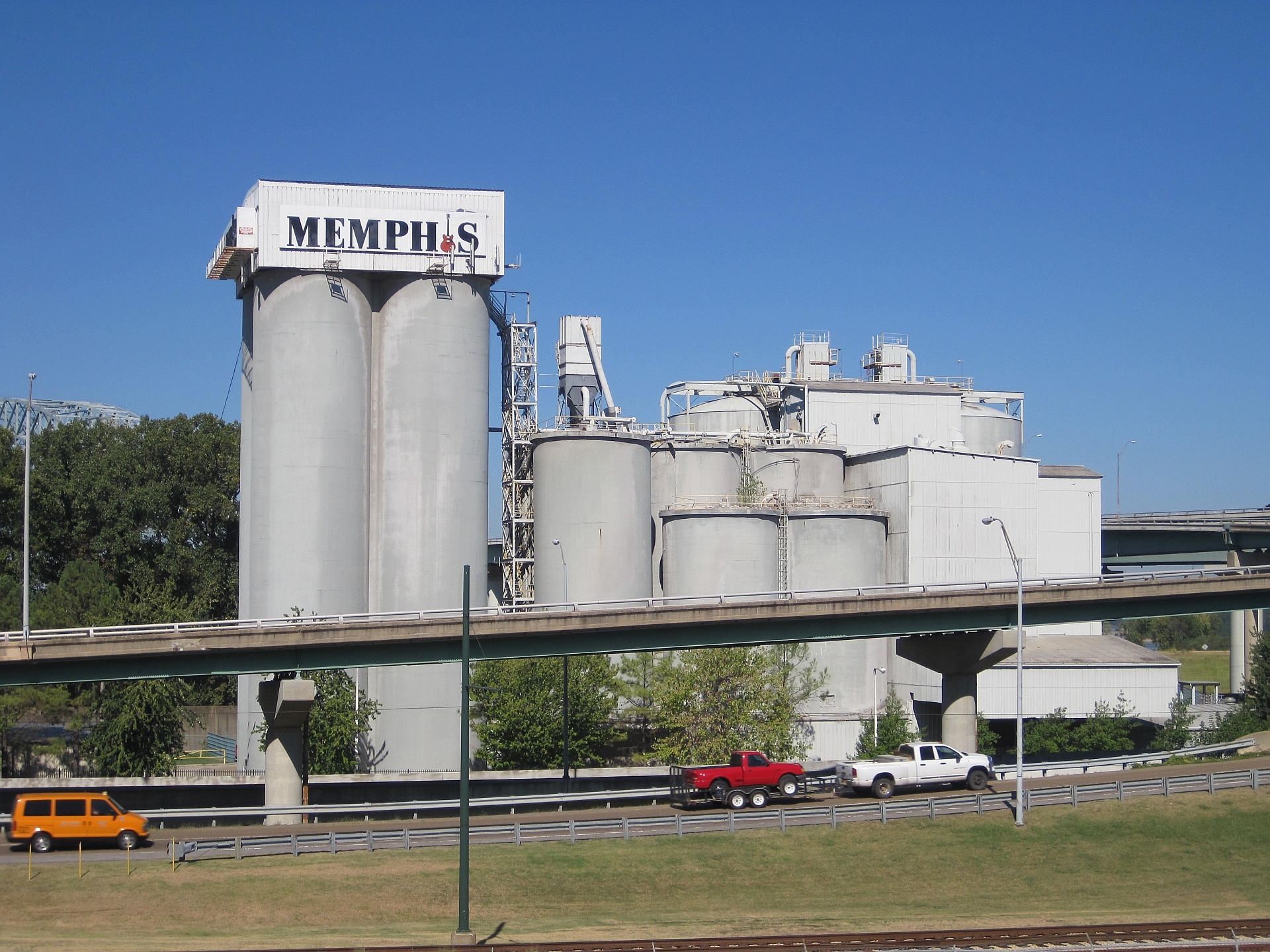
Riverside Drive is the road that runs along the Mississippi River at the base of the downtown Memphis bluff, linking the riverfront parks, the old cobblestone landing and the bridges to Arkansas. It closes, repeatedly and for different reasons, because it sits in a floodplain, hosts the city’s biggest outdoor events, and runs directly through a park that has been under active construction in recent years.
What exactly is Riverside Drive?
Riverside Drive is a city street, not a highway, running roughly north–south along the Mississippi River below the downtown bluff, beneath and parallel to Front Street. It forms the western edge of downtown Memphis, separating the built-up bluff from the river itself.
Along its length it passes the historic cobblestone landing (a 19th-century steamboat wharf still paved in stone), Beale Street Landing, and Tom Lee Park, the city’s principal riverfront park. It provides direct access to the on-ramps for both Mississippi River bridges out of downtown, including the Hernando de Soto Bridge carrying I-40 into Arkansas.
Why does the river itself close the road?
Riverside Drive sits at a low elevation directly against the Mississippi, and the lowest stretches flood before almost anything else downtown does. When the river rises toward or past flood stage, the city closes the affected sections rather than let traffic drive through standing water.
The National Weather Service maintains the river gauge at Memphis and publishes current levels and flood-stage thresholds on its own site; this is the authoritative source for whether the river is running high in a given week, not a fixed number worth repeating here since river levels change by the day and by the season. The widely documented flooding on the lower Mississippi in spring 2011, which closed riverfront roads and parks across the city for weeks, is the clearest large-scale example of what happens at the high end of that range.
Because the Mississippi’s level depends on rainfall and snowmelt across a watershed that extends well north of Tennessee, closures tied to the river can arrive with only a few days’ warning and can last anywhere from a day to several weeks.
Why does it close for events?
Riverside Drive and Tom Lee Park together form the city’s main venue for large outdoor gatherings, and several of Memphis’s biggest annual events are staged on or block off this corridor. Memphis River Parks Partnership, the nonprofit that manages Tom Lee Park and much of the riverfront under agreement with the city, schedules and publicizes festival closures on its own site.
The city’s largest recurring events tied to this stretch include:
- Memphis in May, the city’s month-long festival built around barbecue and music programming, much of it staged in and around Tom Lee Park
- the St. Jude Memphis Marathon weekend, whose course runs along the riverfront
- fireworks displays and river-facing civic events tied to holidays, which typically require vehicle and sometimes pedestrian closures for safety setup and teardown
None of these dates are fixed year to year in this article on purpose — festival scheduling shifts, and a reader planning around one should check Memphis in May’s own site or the city’s calendar directly rather than rely on a written guide.

Why has it closed for construction?
Tom Lee Park underwent a major redevelopment completed in 2023, designed by Studio Gang and delivered by Memphis River Parks Partnership, replacing much of the park’s landscaping, paths and river-facing structures. Riverside Drive itself was affected during that build, with sections of the road and adjoining park closed to traffic for extended periods while grading, drainage and new pedestrian crossings were put in.
Riverfront work of this kind tends to recur. The corridor is old, it sits directly against an active river, and it carries both a public street and a working park in the same narrow strip of land — infrastructure and landscape projects along it are a standing feature of how the city maintains the riverfront, not a one-off event.
Does a closed Riverside Drive affect getting around downtown?
For a driver, yes, in a narrow but real sense: it removes a direct riverside route between the bridges and the southern end of downtown, pushing that traffic onto Front Street or further inland. For a pedestrian or a resident using the riverfront for walking or running, a closure can mean a rerouted stretch of the Big River Crossing approach or a detour around active construction fencing.
It rarely affects the rest of downtown in a serious way, since Riverside Drive is not a through-route for regional traffic — that role belongs to the interstates and the bridges themselves, not the riverfront street. Anyone relying on downtown parking more broadly should see the general shape of how downtown parking works in Memphis, which is a separate and steadier question from riverfront closures.
How should a visitor plan around this?
Check twice before assuming Riverside Drive, Tom Lee Park or the cobblestone landing will be open and accessible: once with Memphis River Parks Partnership’s own site for scheduled event or construction closures, and once with the National Weather Service river-level page if visiting during spring, when the Mississippi is most likely to be running high. Neither source is this website, and neither closure schedule is fixed far enough in advance to print reliably here.
Someone without a car does not lose much by a riverfront closure — Riverside Drive is not part of the Main Street Trolley route or the core MATA bus network, and most downtown museums and landmarks sit up on the bluff along Front, Main and side streets rather than down on the riverfront itself.
How does this matter to someone who actually lives here?
For residents, Riverside Drive’s closures are less a curiosity than a seasonal fact of downtown life. Spring means watching the river gauge if events or a run are planned along it; festival season means knowing which weeks the park itself is fenced for setup and teardown, not just for the events themselves; and any given year may include a stretch of construction closure tied to riverfront capital work, since the park and road have been rebuilt in pieces rather than all at once.
None of this affects whether Memphis functions day to day without a car, a separate and broader question addressed in whether you need a car in Memphis. Riverside Drive is a single corridor with an unusual amount of exposure to weather, festival scheduling and capital projects — understanding why it closes is really about understanding that the riverfront is a working, actively managed piece of the city, not a fixed backdrop.
For a wider view of how the riverfront fits into downtown’s layout, see Access Memphis’s Parks & Riverfront coverage, and for the broader question of how downtown itself is bounded and organized, see what counts as downtown Memphis.
Access Memphis is an independent guide written from published, checkable sources. We have not visited the places described here and we do not publish personal recommendations or invented ‘local favourites’ — where something is singled out as notable, we say who says so. Opening times, fares, closures and prices change at short notice, so treat everything here as a starting point and confirm with the museum, operator or venue directly before building a day around it. We give no advice on visas, insurance, health or safety; use your own government’s official guidance for those.
Featured image: Photo by Thomas R Machnitzki, source, CC BY 3.0
