Driving in Memphis means dealing with a spread-out, low-density city built around a handful of interstates and two Mississippi River bridges, a compact downtown grid with one-way streets and metered parking, and a road network that a car genuinely helps navigate, since public transit covers only part of it. Most residents drive; most visitors end up doing at least some driving too.
What does the Memphis road network actually look like?
Three interstates hold the city together: I-40 runs east-west and crosses the river on the Hernando de Soto Bridge, I-55 runs south of downtown and crosses on its own older bridge, and I-240 loops around the city as an inner beltway, connecting to I-40 on the north side and I-55 on the south. Poplar Avenue is the long east-west surface artery through Midtown and East Memphis toward Germantown and Collierville, and Sam Cooper Boulevard links Midtown to the eastern suburbs as a limited-access parkway. Memphis is flat and grid-based in its older core, then spreads into curving suburban arterials further east — a pattern described in more detail in the guide to East Memphis and where its boundaries lie.
How do you cross the Mississippi River by car?
There are two road bridges at Memphis. The Hernando de Soto Bridge carries I-40 and is locally known as the M Bridge for its shape — its structure and the reasons Memphis calls it that are covered in a dedicated piece on the Hernando de Soto Bridge. The older I-55 bridge, the Memphis-Arkansas Bridge, carries interstate traffic further south and also carries the Big River Crossing pedestrian and cycle path alongside it, detailed separately in the explainer on the Big River Crossing. Both bridges lead into West Memphis, Arkansas; what’s actually on the other side is addressed in the guide on crossing the Mississippi at Memphis.
What is downtown Memphis like to drive in?
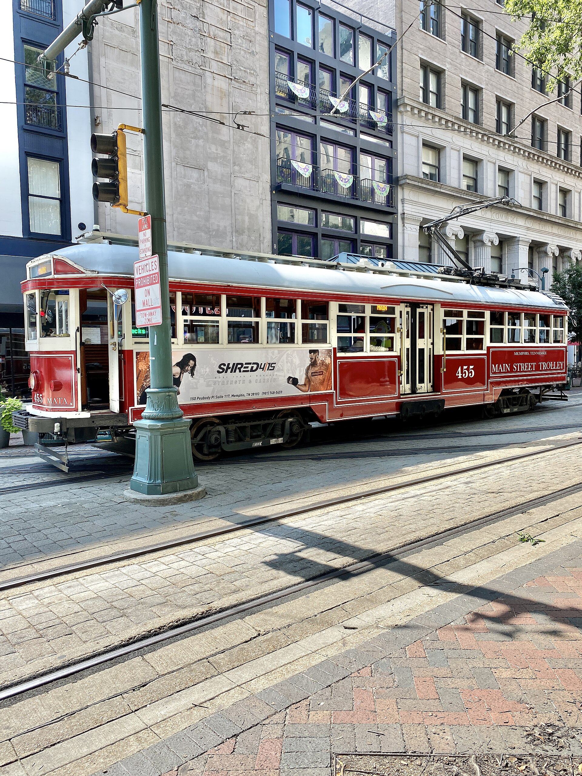
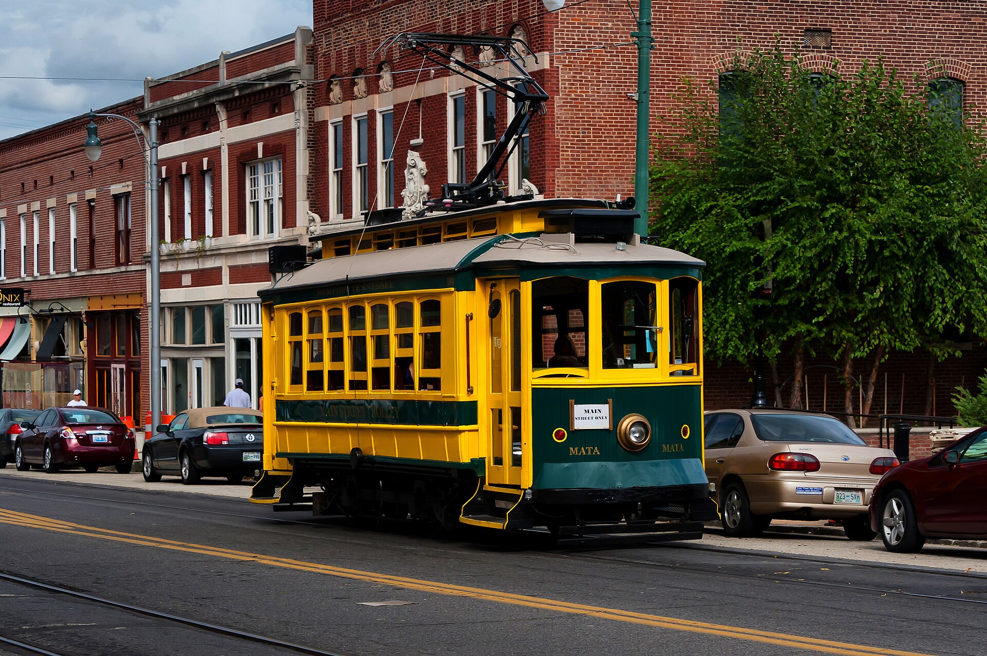
Downtown sits on a compact street grid with a mix of one-way and two-way streets, and it carries pedestrian trolley tracks along Main Street, so drivers share some corridors with the trolley system described in the piece on the Main Street Trolley. The grid’s edges are defined in the overview of downtown Memphis’s boundaries. Traffic through downtown is generally light by the standards of a large American city, but events at the FedExForum, on Beale Street, or on the riverfront can close streets or fill nearby lots with little notice — something worth checking against the city’s own event notices before planning a route.
Where do you park downtown?
Downtown Memphis has metered on-street parking, several municipal garages, and private surface lots, with pricing and enforcement hours that change and should be confirmed on the operator’s own signage or site rather than assumed. The mechanics of how this works — including differences between garages, meters, and event-day surge lots — are laid out in the guide on how parking works in downtown Memphis. Meters are typically enforced only during weekday business hours in much of downtown, but this varies by block and should not be relied on without checking posted signs.

What is Riverside Drive, and why does it matter for driving?
Riverside Drive runs along the downtown riverfront and is subject to periodic closures for flooding, construction, and events — a pattern, not an occasional inconvenience. The reasons behind this, and how often it recurs, are explained fully in the piece on Riverside Drive and why it keeps closing. Drivers routing along the riverfront, particularly near Tom Lee Park or the Pyramid, should treat a closure as a live possibility rather than an exception.
Do you actually need a car in Memphis?
For most practical purposes, yes. Memphis is a low-density city built around driving, and its bus network, run by MATA, covers the city but with headways and route density that make it a secondary option for most trips outside downtown. The honest case for and against renting or bringing a car is worked through in Do You Need a Car in Memphis? An Honest Answer, and the bus system itself is explained in What Is MATA, and How Good Is the Memphis Bus Network? Downtown, Midtown, and a few adjoining districts are walkable in their own right, a distinction covered in Is Memphis Walkable? Which Neighborhoods Actually Work.
How does traffic vary through the day and the year?
Memphis has a conventional rush-hour pattern on I-40, I-55, and I-240, heaviest on weekday mornings and evenings as commuters move between downtown, Midtown, and the eastern suburbs. Traffic thins noticeably on weekends outside of major events. Weather is a minor but real factor: Memphis rarely sees snow, but the occasional ice storm can shut down bridges and overpasses for a day or more, since the region has limited equipment for clearing it — a fact worth knowing for anyone driving through in winter. Current road and bridge conditions, including any weather-related closures, are posted by the Tennessee Department of Transportation on its SmartWay traffic system at smartway.tn.gov.
What about driving out to Germantown, Collierville, or the wider suburbs?
Germantown and Collierville are incorporated suburbs east of Memphis along the Poplar Avenue and I-240 corridor, each with its own municipal government and each functioning quite differently from the city itself — a distinction laid out directly in the difference between Memphis, Germantown and Collierville. Driving to either from downtown or Midtown is a straightforward interstate or arterial trip, typically twenty to forty minutes depending on traffic, though exact travel times should be checked against a live map rather than assumed.
What official sources should you check before driving in Memphis?
Beyond real-time conditions from TDOT’s SmartWay system, drivers — particularly those unfamiliar with Tennessee’s specific road rules, licensing reciprocity, or insurance requirements — should consult their own government’s travel guidance and the Tennessee Department of Safety and Homeland Security directly rather than relying on informal advice. This is a matter for the relevant authorities, not for a general-interest guide.
How does this fit into planning a visit or a life in Memphis?
Driving is the backbone of getting around Memphis, but it sits alongside a wider set of choices — flying in and getting from the airport, cycling on dedicated paths like the Shelby Farms Greenline, or relying on the trolley and bus downtown. Those options are gathered in the hub on getting around, planning, and the riverfront, while a broader sense of how the city works day to day, beyond any single trip, is covered in Living in Memphis. For a fuller map of neighborhoods a car makes reachable, the neighbourhoods archive is the starting point.
Access Memphis is an independent guide written from published, checkable sources. We have not visited the places described here and we do not publish personal recommendations or invented ‘local favourites’ — where something is singled out as notable, we say who says so. Opening times, fares, closures and prices change at short notice, so treat everything here as a starting point and confirm with the museum, operator or venue directly before building a day around it. We give no advice on visas, insurance, health or safety; use your own government’s official guidance for those.
Featured image: Photo by Warren LeMay from Chicago, IL, United States, source, CC BY-SA 2.0
.jpg)